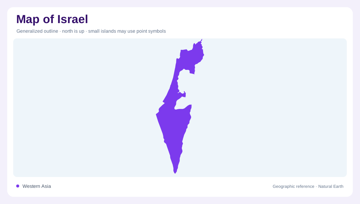
A narrow meeting of geographic regions
Israel lies along the eastern Mediterranean, with a narrow southern outlet at the Gulf of Aqaba, also called the Gulf of Eilat. Its physical geography includes a coastal plain, northern uplands, the Jordan valley region and the Negev. These landforms continue across political boundaries, so geographic continuity should not be confused with sovereignty. Maps need to distinguish the West Bank and Gaza Strip and explain disputed boundary conventions rather than merging every highland into one national surface. Beginning with coast, relief and drainage gives a framework while leaving the legal meaning of particular lines to an explicit legend.
The Mediterranean plain and Carmel
The Mediterranean coastal plain runs along the western side, broadening and narrowing between the sea and inland hills. Cape Carmel near Haifa interrupts the otherwise lower coastal profile. This relationship gives the coast a more varied structure than an unbroken straight strip. Urban and agricultural areas occupy parts of the lowland, but their mapped extent should be distinguished from the natural plain itself. At regional scale, Carmel is a useful landmark where higher ground approaches the sea. Closer views show how bays, headlands and the inland rise divide neighbouring coastal localities into different physical settings despite their shared Mediterranean frontage.
Galilee and valleys through the hills
Upper and Lower Galilee form contrasting northern upland areas. Mount Meron provides a prominent high point, while valleys cut across and between the hills. The Jezreel Valley is a major lowland corridor within this broader northern landscape. Its openness contrasts with surrounding slopes, making it important for understanding the terrain even without adding current settlement or transport detail. A relief map should preserve those lower passages rather than showing the north as one solid mountain block. The distinction between a summit, a hilly region and a valley floor explains how substantial local variation can occur within a small area.
A freshwater lake and a saline terminus
The Sea of Galilee, also known as Lake Tiberias or Kinneret, forms a freshwater lake within the Jordan system. Farther south, the Dead Sea occupies a closed saline basin. The two waterbodies therefore have different hydrological roles despite appearing as similar blue shapes on a small map. The Jordan connects parts of this north to south rift landscape, while surrounding slopes determine where tributaries enter. Surface elevations are low relative to nearby uplands, so contours add essential context. Changing water levels also affect shorelines, especially around the Dead Sea; a dated outline describes an observed extent rather than an immutable boundary.
The Negev narrows toward the southern gulf
The Negev occupies a large southern share of Israel and narrows toward Eilat. Its terrain includes western lowlands, central hills and the Arava depression along the eastern side. Desert does not mean one continuous sandy plain: ridges, basins and dry channels create a varied surface. This southern geography differs from the more humid Mediterranean north and coast. Groundwater and managed water supplies also matter, but pipelines should not be mistaken for natural rivers. A coherent map keeps the Negev's internal relief visible alongside Galilee, the coastal plain and the rift waters, preserving physical distinctions without implying that terrain alone settles territorial questions.