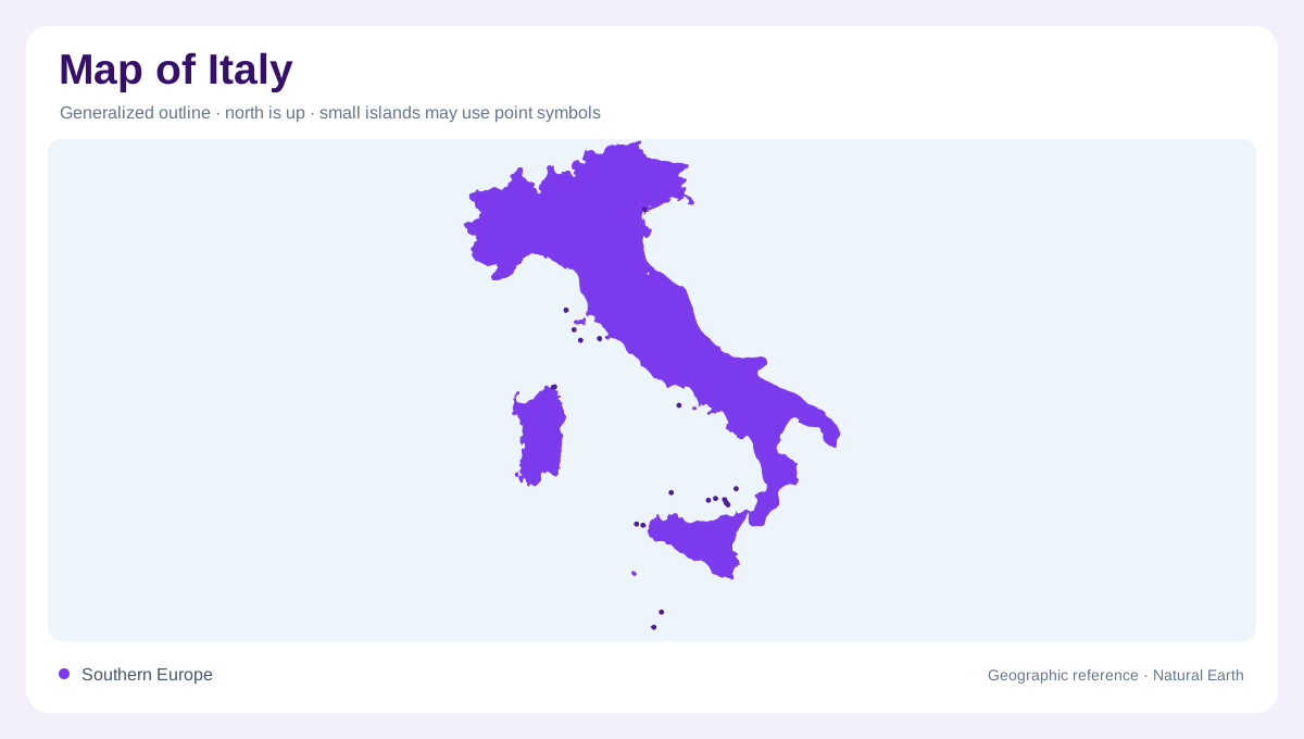
A peninsula with a larger island geography
Italy extends southward from the Alps into the central Mediterranean, forming the boot shaped peninsula. Sicily lies near its southern tip, while Sardinia occupies a separate position farther west. Numerous smaller islands add to that maritime geography. The outline is therefore not complete if it ends at the mainland shore. France, Switzerland, Austria and Slovenia adjoin the northern mainland, while San Marino and Vatican City are separate enclosed states. At regional scale, the peninsula divides surrounding seas; at local scale, mountains, plains and individual islands create a more varied surface than the recognisable national silhouette alone can explain.
The Alps above the northern plain
The Alpine arc forms Italy's high northern rim, with valleys descending toward lower country to the south. Below it, the Po basin creates a lowland contrast. Tributaries connect mountain catchments with the main river, so the plain is a receiving landscape shaped by water and sediment from surrounding uplands. It should not be interpreted as an isolated flat strip between cities. A relief map makes the mountain boundary visible, while drainage reveals how the high and low regions interact. Those connections cross administrative divisions, giving northern Italy a physical framework that is clearer when rivers and elevation are read together.
The Apennines divide the peninsula
The Apennines run through much of the peninsula, separating catchments directed toward different coasts. Their terrain includes ridges, basins and valleys rather than one uninterrupted crest of equal height. Rivers on either side descend toward the Adriatic or the western seas through different regional landscapes. Coastal plains occur locally, but their widths and relationships with the mountain interior vary. Rome and the Tiber provide one western river setting, while many Adriatic catchments have their own shorter eastward courses. Reading the peninsula through these divides explains why its narrow appearance on a map does not imply easy physical continuity between every opposing shore.
The Po Delta's layered shoreline
Where the Po reaches the Adriatic, branching channels enter a low delta landscape containing dunes, sandbars, lagoons, marshes, fishing ponds and cultivated ground. Natural deposition and human management have both shaped this coastal plain. The delta cannot be represented by a triangular symbol at the river mouth. Its secondary channels and brackish wetlands form a complex transition between inland freshwater and marine influence. Older dunes also preserve traces of previous coastal positions. A map distinguishes these features from the present shoreline, showing how a place can contain both active coastal processes and landforms inherited from earlier stages of the delta's development.
Sicily and Sardinia retain their own scale
Sicily and Sardinia contain inland relief as well as long coastlines, so neither should be described as a beach fringe detached from the peninsula. Their separate positions change the overall balance of Italy's maritime geography. An inset can clarify an island's shape, but equal panel size does not imply equal land area or proximity to the mainland. The national picture is strongest when these islands remain connected to the same regional frame as the Alps, Po plain and Apennines. Italy then reads as a combination of mountain rim, lowland basin, elongated peninsula and distinct offshore landmasses within the Mediterranean.