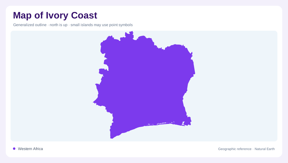
A Gulf of Guinea frontage
Ivory Coast, also known as Côte d'Ivoire, occupies a section of West Africa north of the Gulf of Guinea. Liberia and Guinea lie to the west, Mali and Burkina Faso to the north, and Ghana to the east. The coastline forms a southern base below a much larger inland area. This orientation is useful, but not every river follows a simple north to south course within the country. Some catchments reach into neighbouring states, and northern areas contribute to drainage systems whose outlets lie elsewhere. The national outline therefore encloses several water geographies rather than one uniform slope to the coast.
Plateaus with higher western relief
Much of Ivory Coast consists of subdued plateaus, with higher ground in the west. Those western heights interrupt the broader rolling surface and introduce steeper local catchments. The geological contrast is also important: a narrow coastal sedimentary basin lies against an extensive crystalline interior. A relief map and geological map describe different aspects of the same landscape. Flat looking land may still contain valleys, while similar elevations can overlie different rocks. The western uplands deserve particular attention because their prominence is easily reduced when the whole country is shown within a continental low elevation colour band.
Four principal southward river systems
The Cavally, Sassandra, Bandama and Comoé organise much of the country's drainage. The Cavally occupies the western border region, and the Sassandra has headwaters in Guinea. The Bandama gathers branches including the White Bandama, Marahoué and N'zi. Farther east, the Comoé originates in Burkina Faso before crossing Ivory Coast toward the Gulf of Guinea. These basins are parallel in broad orientation without being interchangeable. Their areas, tributary arrangements and foreign connections differ. Reading them from west to east gives a practical framework for locating inland districts, especially where administrative boundaries do not coincide with the divides separating neighbouring river systems.
Water that takes other directions
Northern Ivory Coast includes tributaries of the Niger, such as the Baoulé and Bagoé. Their presence is a reminder that proximity to the country's southern coast does not determine every watershed's destination. A smaller eastern connection leads toward the Black Volta system in Ghana. These peripheral basins can disappear on maps focused only on the four major coastal rivers. Restoring them changes the interpretation of the northern and eastern margins: they are parts of wider West African networks. The drainage divide, rather than the national boundary, determines whether rainfall eventually feeds the Gulf of Guinea through a local river or another regional system.
Smaller channels along the southern edge
Between the large river basins, shorter coastal waterways include the Agnéby, Mé, Boubo and San Pedro systems. The Bia brings an additional connection with Ghana. These smaller catchments help explain why the southern landscape cannot be reduced to four river mouths. Wet soils occur in marshy ground and river plains, contrasting with the better drained surfaces of surrounding plateaus. At closer scale, the coastal sedimentary belt and its waterways become more important than their share of national area suggests. Combining that detail with the inland plateaus and western heights preserves both the country's broad structure and its locally varied drainage.