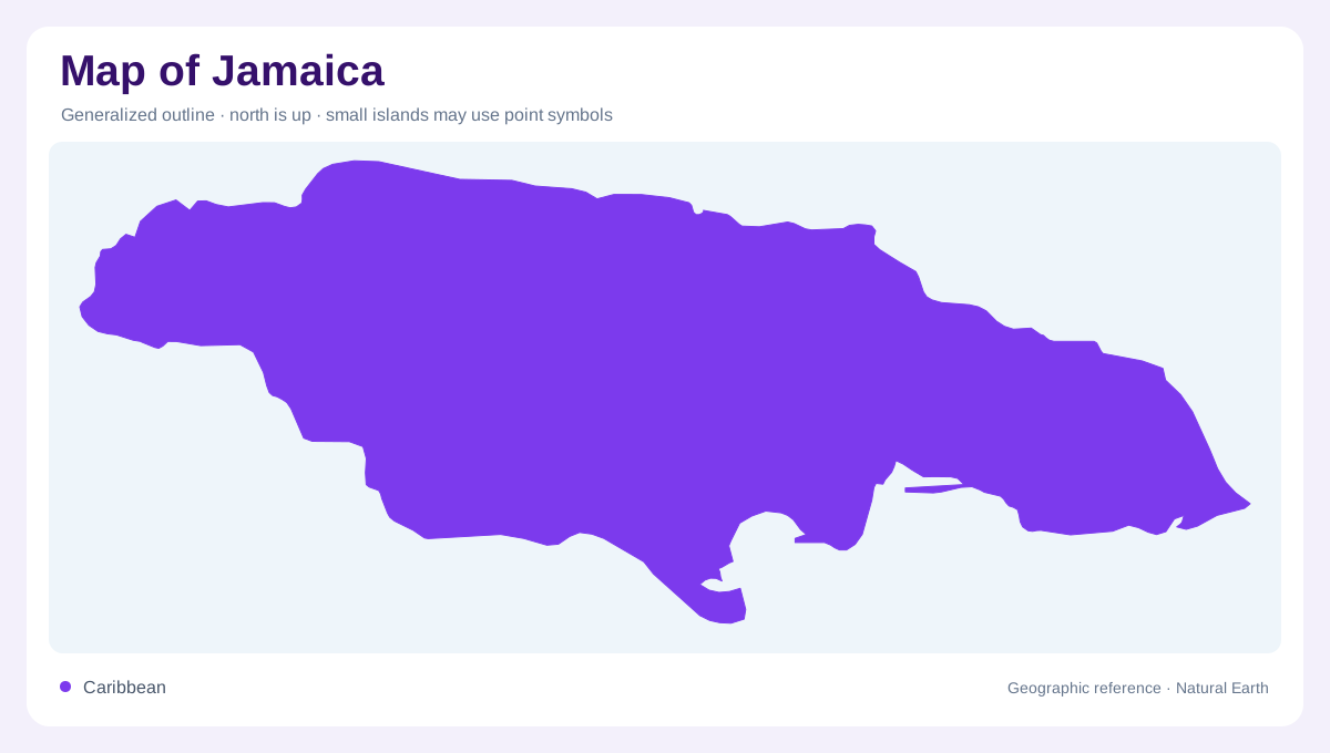
An elongated island in the Caribbean
Jamaica lies in the Caribbean Sea south of Cuba and west of Hispaniola. Its elongated outline encloses a mountainous interior, limestone landscapes and lower coastal areas. The island is not simply a ring of beaches around a flat centre. A physical map should establish the interior divide before focusing on towns or bays, because slopes determine which coast receives each river. Kingston provides a southeastern urban reference, while other coastal settlements occupy different basin settings around the island. At regional scale Jamaica appears compact; at local scale, ridges and valleys make nearby points part of different physical environments.
The eastern mountain country
The Blue Mountains form Jamaica's conspicuous highland region in the east. Steep relief gives their streams rapid descents toward surrounding lower ground. These mountain catchments differ from many limestone basins elsewhere on the island, where underground flow plays a larger role. A mountain summit symbol does not reveal the divide: adjoining ridges, valleys and slopes explain how water reaches different shores. Rainfall and river behaviour vary with that terrain. Reading the eastern highlands as a connected drainage landscape is more informative than treating them as a scenic backdrop behind the coastal urban area or a collection of isolated peaks.
Limestone and water out of sight
Karstic limestone occupies extensive parts of Jamaica and supports groundwater resources. Water can enter the rock through fractures and dissolved openings, so surface streams display only part of the hydrological system. The absence of a dense river network does not necessarily mean the ground receives little rain. Conversely, a river may gain sustained flow from groundwater emerging downstream. This makes geological mapping useful in the island's interior. Limestone uplands and coastal alluvium also form different aquifer settings, even when both contribute water to nearby basins. Their physical distinction would disappear if every lowland and hill were interpreted only through visible channels.
Northward and southward rivers
The central ranges divide rivers flowing toward Jamaica's northern and southern coasts. The Martha Brae and White River are northern examples with groundwater contributions, while other systems show stronger seasonal changes. The Great River and streams in the Blue Mountains demonstrate that not all northward drainage behaves alike. Southern basins include the Rio Cobre and Rio Minho, whose associated limestone and alluvial settings are important for groundwater. Following these systems reveals how geology modifies the broader north and south division. Two rivers reaching the same coast can have different catchment materials, storage characteristics and responses to rainfall through the year.
Reservoirs and lowland receiving areas
The Mona and Hermitage reservoirs provide examples of managed water storage in the southeastern region. Their mapped surfaces should be distinguished from natural lakes and from the river basins supplying them. Coastal plains receive water and sediment from inland catchments, while wetlands and alluvial ground create their own lower landscape settings. A national map becomes useful when these receiving areas remain visible beneath the mountain pattern. Jamaica's geography is therefore a combination of an eastern highland focus, widespread limestone drainage and separate coastal outlets. Reading those layers together explains both the visible rivers and the subsurface movement of water below the surface.