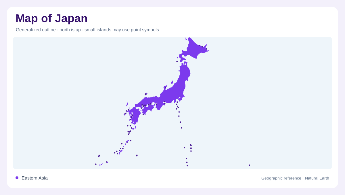
An arc along eastern Asia
Japan stretches through the northwestern Pacific as a long island arc rather than a compact block of land. Hokkaido, Honshu, Shikoku and Kyushu form its principal islands, while the southwestern chain extends toward Okinawa. The Sea of Japan and East China Sea separate different parts of the archipelago from continental Asia. Distance along this arc matters: the northern and southwestern islands occupy different climatic settings. A country map should preserve that span instead of enlarging the central islands until the outer groups disappear. Insets can clarify smaller islands, provided their scale and displaced position remain apparent to the reader.
Mountains behind the settled lowlands
Mountainous terrain occupies much of Japan, including high ranges through central Honshu. Mount Fuji is the highest summit, but isolated peak symbols do not convey the extent of the surrounding uplands. Lowland plains and coastal basins provide a contrasting framework for settlement, with the broad urban belt extending from the Tokyo region toward northern Kyushu. At national scale, dense labels can obscure the mountains between these lowlands. Relief shading restores the distinction between continuous urban symbols and discontinuous areas of gentler terrain. Japan's inhabited geography follows particular plains and corridors within the island arc rather than occupying its surface evenly.
Opposite slopes receive different seasons
The mountain backbone divides the Pacific side from the Sea of Japan side. Seasonal winds interact with that relief, contributing to snowy winters on many slopes facing the Sea of Japan and a different winter pattern along the Pacific coast. The contrast is not simply north against south; exposure matters as well as latitude. Central highlands and the Inland Sea region introduce additional local variations. Comparing a climate map with the relief explains why locations at similar latitudes can have different seasonal precipitation. An island outline alone cannot show the barrier that separates those facing slopes and redirects moisture across them.
Short rivers and one long example
Most Japanese rivers cover short distances between mountainous headwaters and the sea. The Shinano is the longest, flowing through Nagano and Niigata before reaching the Sea of Japan. Its course illustrates how a river can follow an interior valley before finding an outlet across the coastal lowlands. Catchments are therefore more informative than straight distances from a summit to the shore. Waterways on opposite sides of a divide may begin close together yet reach different seas. At detailed scale, reservoirs and river engineering add another layer, but they should be distinguished from the natural basin that gathers the water.
Lake Biwa and inland water spaces
Lake Biwa occupies an inland basin near Kyoto in central western Honshu. Its broad open water contrasts with the narrow channels characteristic of many mountain valleys. Other lakes occur in coastal districts and volcanic regions, so their origins and positions vary across the archipelago. Reading lakes together with the surrounding relief prevents every blue patch from being interpreted as the same kind of feature. Japan's geographic unity comes from an island arc, while its internal variety comes from mountain divides, separated plains and differing coastal exposures. Keeping those relationships visible gives the smaller island and basin maps a coherent national setting.