A Channel Island close to France
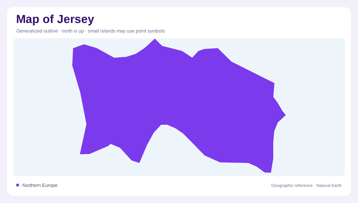
Jersey lies in the Channel Islands near the French coast, south of the expanse of the English Channel. It is a separate bailiwick from Guernsey, although both belong to the same geographic island group. The island's outline contains bays, headlands, inland valleys and contrasting coastal exposures. St Helier provides the main southern urban reference, but the built waterfront represents only one setting within that varied surface. A regional map establishes proximity to France; an island view explains the relationship between settled ground, agricultural interiors and rocky or sandy shores. Those two scales answer different questions about Jersey's position.
Granite beneath familiar headlands
Granite forms conspicuous parts of Jersey's coastal landscape, including the headland around La Corbière. The crystalline rock originated from magma cooling underground and now appears in exposed shores and local building stone. Its presence connects the island's geology with the appearance of settlements without making every rock outcrop identical. Volcanic and sedimentary rocks also belong to Jersey's longer geological history. A geological map can distinguish those materials where an outline shows only land. Corbière is therefore useful as more than a lighthouse label: it anchors an interpretation of resistant rock, coastal exposure and the long processes that shaped the island.
St Ouen and a different shore
The western St Ouen setting includes the dunes of Les Blanches Banques, providing a contrast with granite headlands. Sand accumulates and moves through processes unlike those forming the underlying rock. A dune area should not be read as a smooth extension of the beach, because vegetation, wind and sediment supply affect its shape. On a detailed map, the transition from beach to dunes and inland ground becomes visible. This coastal sequence gives Jersey more than one kind of maritime margin. The western sandy landscape and rocky southwestern projections occupy neighbouring parts of the island while preserving distinct physical characters.
Cliffs, caves and inherited landscapes
La Cotte de St Brelade occupies a southwestern coastal cave setting associated with a much older landscape. During periods of lower sea level, Jersey was connected to the continental landmass, so today's water boundary does not describe every stage of its past. Elsewhere, Devil's Hole illustrates coastal erosion through the collapse of a sea cave roof. These examples show different relationships between enduring rock and changing sea position or wave action. A historical landscape map and a present shoreline map are therefore not contradictory merely because their land areas differ. They represent different moments in the development of Jersey's coastal terrain.
The tide changes the visible edge
Jersey's large tidal range exposes and covers extensive coastal ground. The visible shoreline consequently shifts over a day even though the island's bedrock framework remains. Rocks, reefs and causeway connections need interpretation against the tide, not merely the apparent continuity of a line on a map. Offshore reef areas such as Les Écréhous and Les Minquiers add detail beyond the main island's edge. Their small exposed areas should not be mistaken for simple miniature versions of Jersey itself. Reading the island through granite, dunes, caves and intertidal surfaces makes these distinctions clear while keeping the surrounding sea integral to its geographic identity.