A western rift beside an eastern desert
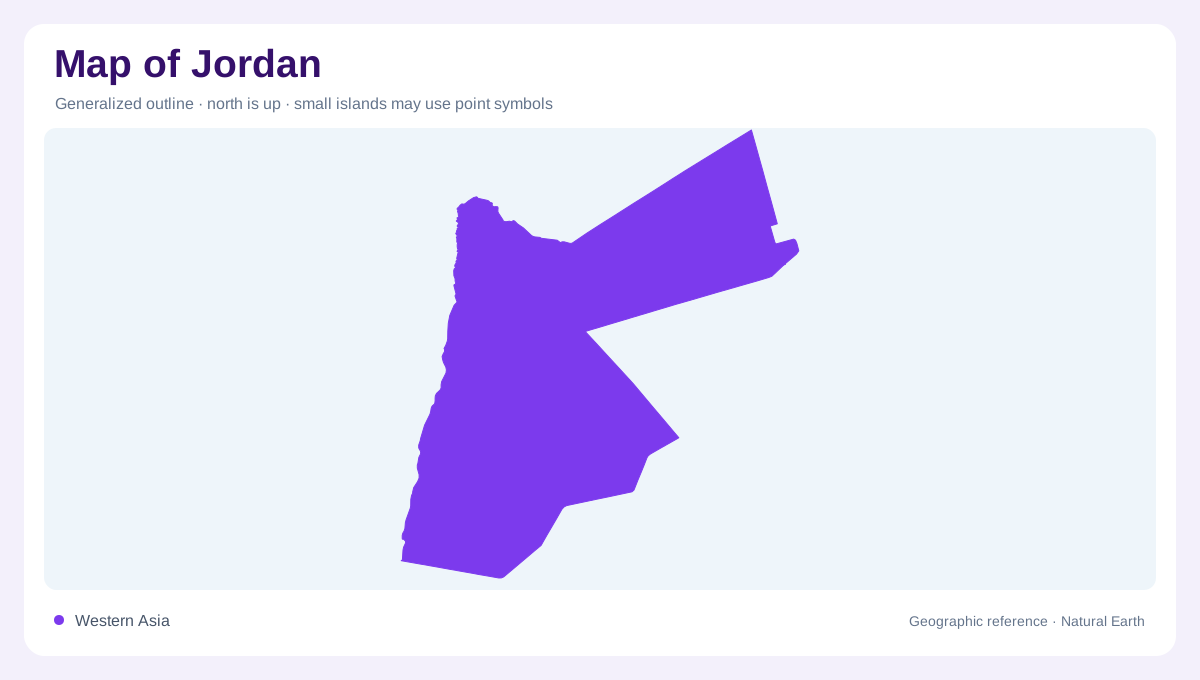
Jordan lies east of the Jordan River, with Syria to the north, Iraq to the northeast and Saudi Arabia along the eastern and southern sides. Israel and the West Bank lie across its western boundary region, while a short southwestern coast meets the Gulf of Aqaba. The country's physical balance is uneven: desert occupies the east, while a narrower western belt contains highlands and deep rift terrain. A map centred only on the Jordan valley misses most of the national area. Conversely, a uniform desert colour obscures the sharp elevation changes that distinguish the western side from the interior.
The low corridor from Jordan to Aqaba
The Jordan Rift Valley continues southward through the Dead Sea region into Wadi Araba and the Gulf of Aqaba. These connected landforms form a long low corridor, but they do not constitute one continuous river. The Dead Sea is a closed saline waterbody, while the Gulf of Aqaba connects with the Red Sea. Keeping that distinction visible prevents the valley's linear shape from implying a single waterway through the entire western landscape. Elevation is crucial here because the depression lies far below adjacent highlands. A regional relief section explains the contrast more clearly than a sequence of coast and lake symbols alone.
Highlands above the valley
East of the rift, a belt of highlands runs broadly north to south. Mountain ranges and elevated plains are cut by side wadis descending toward the lower western corridor. These short steep connections create local relief over limited horizontal distances. A town or plateau near the valley on a map may stand considerably above its floor. The wadis provide orientation because their courses reveal the direction of descent. Their presence does not mean permanent flow: rainfall is uneven, and many channels respond episodically. Reading slope and drainage together shows how the western highlands relate physically to the rift below.
Yarmouk, Zarqa and southern catchments
The Yarmouk forms a northern connection with Syria before joining the Jordan system. The Zarqa is another major tributary, with King Talal Dam located within its catchment. Farther south, the Mujib and Hasa belong to separate basins directed toward the Dead Sea region. These names help divide the western side into watersheds rather than one continuous hillside. Irrigation canals introduce engineered connections alongside the natural channels, and the two should be distinguished. A canal redistributes water, whereas a river basin gathers it from surrounding ground. The distinction makes a water map more informative without implying a current supply level.
Badia plains and water below ground
The eastern Badia extends into the Arabian Desert. Plains along its western margin form a transition from the highlands into this much larger arid region. Surface drainage is limited and seasonal, while groundwater occurs in several separate basins, including fossil reserves in the southeast. Those aquifers are not visible simply by tracing wadis. Jordan's structure therefore combines a vertical western contrast with an eastward expansion into desert. Keeping the rift, highlands, transitional plains and Badia distinct explains more than a single aridity label. Their different water pathways connect local landforms with regional systems beyond Jordan's short coastline and long land boundaries.