A gradual rise across the state
Kansas looks broad and regular in outline, but its surface changes substantially from east to west. The western High Plains stand higher than the eastern lowlands, even where the ascent is too gradual to resemble a mountain slope. Mount Sunflower, the state's highest point in Wallace County, is a modest local hill within that elevated plain. This distinction between elevation and relief is fundamental: high land can be locally gentle, while lower districts contain conspicuous hills. The state's geographic variety comes from different rock layers, deposited sediments and erosion histories rather than from a single dominant mountain range.
Rocky ground preserved prairie
The Flint Hills extend north and south through east-central Kansas. Limestone containing resistant chert helps explain both their name and their land use. As limestone weathers, harder fragments remain in the soil, making cultivation difficult. Extensive grassland consequently survived where many other prairie landscapes were converted to cropland. Grazing and rocky uplands are therefore linked through geology, not simply through a regional preference for cattle. The hills should also be distinguished from the High Plains farther west: both contain open country, but their surface materials and topographic histories differ. Grass cover alone does not identify the same kind of landscape.
Stepped hills and changing caprocks
Farther east, the Osage Cuestas contain hills with steep faces and gentler opposing slopes, shaped in alternating sedimentary layers. West of the Flint Hills, the Smoky Hills introduce another sequence. Sandstone caps characterize their eastern part, limestone occurs across the middle, and chalk features become prominent farther west. These differences record deposits associated with ancient seas and subsequent erosion. They also explain why Kansas can contain both rolling slopes and isolated rock formations. A geographic description that calls everything prairie misses the harder layers protecting summits and the softer material removed from the spaces around them.
Sediment and water under western Kansas
The High Plains are partly built from sediment carried eastward from the Rocky Mountains. Sand, gravel and porous rock within the Ogallala Formation store groundwater beneath western Kansas. The connection between distant mountain erosion and local water supply is especially useful here: the mountains supplied material, while water occupies openings within it. Limited rainfall makes groundwater important for communities and irrigation, but a stored resource is not an unlimited one. The Geological Survey documents withdrawals exceeding replenishment in parts of this system. Surface flatness therefore says little about either the depth or long-term availability of water beneath a field.
River corridors cut across regions
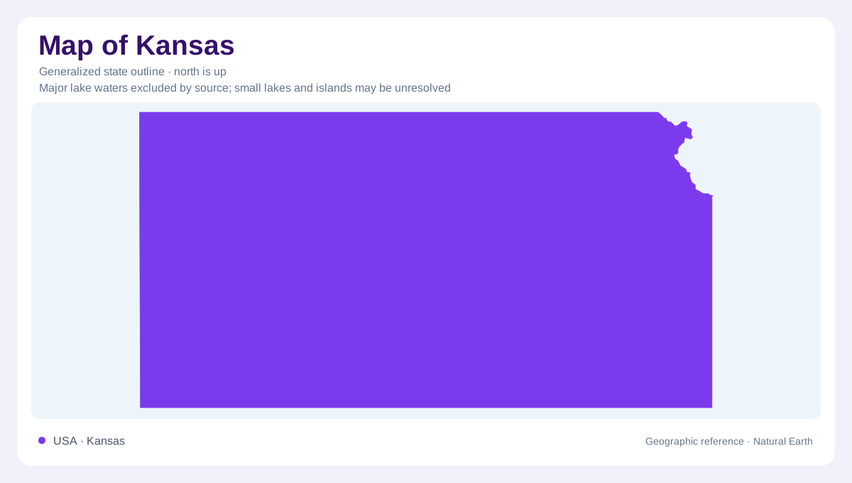
River valleys interrupt the broader pattern of uplands. The Arkansas River Lowlands and Wellington-McPherson Lowlands are associated with comparatively recent deposits, while streams elsewhere expose or dissect older materials. In the northwest, the Arikaree Breaks form an eroded canyon landscape within the High Plains setting. At the opposite corner, a small part of the Ozark Plateau reaches southeastern Kansas, where Mississippian rocks underlie this corner's terrain. Glacial effects add another distinct history in the northeast. These exceptions are worth retaining when reading the state's outline: Kansas is a meeting of several terrain regions, with differences that become clearer at regional scale than in a single statewide silhouette.