A vast interior with several water destinations
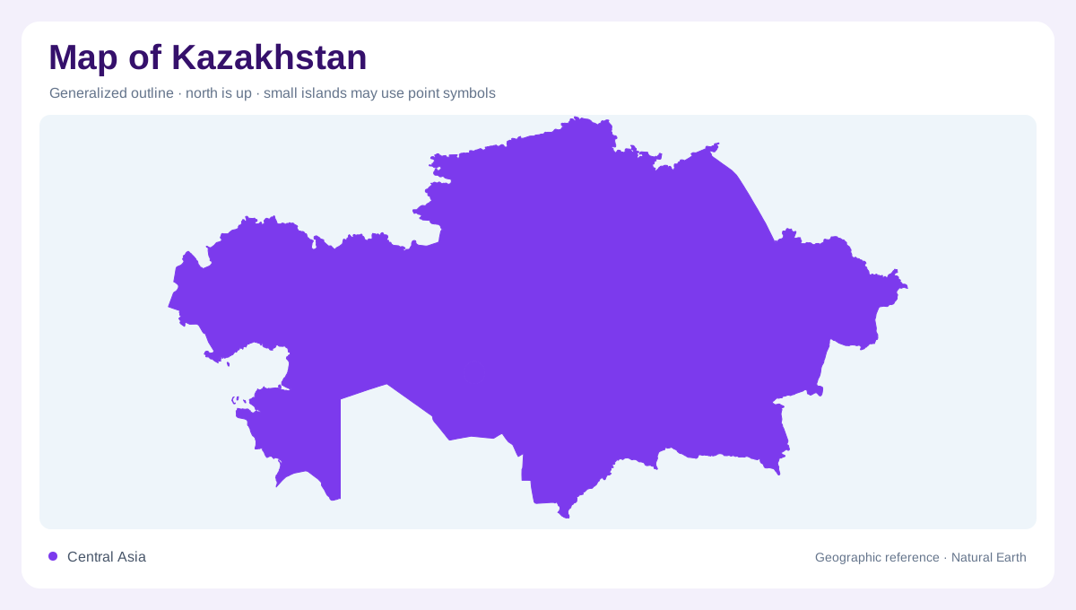
Kazakhstan occupies a large part of interior Eurasia, adjoining Russia, China, Kyrgyzstan, Uzbekistan and Turkmenistan. The Caspian Sea forms part of its southwestern margin, but the country has no direct ocean coast. Its area includes broad plains, uplands, deserts and eastern or southeastern mountain regions. These landscapes drain in different directions. Some water enters the Caspian or Aral systems, some ends in internal lakes and depressions, and some reaches the Arctic Ocean through the Ob basin. A national map becomes clearer when those destinations are separated before the many regional river and lake names are added.
The Caspian edge and western drainage
The Ural connects western Kazakhstan with the Caspian Sea, gathering water from a basin extending into Russia. This maritime looking outlet remains part of an enclosed inland water system. The Caspian shoreline is therefore different from an open ocean coast, despite the scale of the waterbody. Western and southwestern Kazakhstan also contain extensive dry landscapes with limited freshwater. A large blue coastal area does not imply plentiful fresh water nearby. Comparing the river basin with surrounding arid ground helps explain that contrast. The low coastal setting, inland plains and isolated water sources belong to different layers of western Kazakhstan's geography.
The Syr Darya approaches the Aral
The Syr Darya enters Kazakhstan after a long course through neighbouring Central Asian countries. Its source system includes the Naryn and Kara Darya, which meet in the Fergana Valley outside Kazakhstan. Within the country, tributaries descend from the Karatau region before the river reaches the Aral basin. That connection makes the southern landscape part of a shared upstream and downstream system. The Aral's changing water extent also means historical maps can differ substantially from recent ones. A dated shoreline is necessary for interpreting those differences. The river's route is a geographic connection, not evidence that every former part of the sea remains water covered.
Balkhash receives mountain water
Lake Balkhash occupies an internal basin in southeastern Kazakhstan. The Ili enters its western part, while rivers including the Karatal, Aksu and Lepsy approach from other mountain catchments. These rivers connect the lake with high terrain in and beyond Kazakhstan, including parts of China and Kyrgyzstan. A broad lake surface can conceal the uneven distribution of inflow around its margins. Following tributaries upstream shows why particular mountain areas matter to the basin. The neighbouring Alakol region adds another inland water setting, reminding the reader that southeastern lakes are separate features within a larger mosaic of mountain sourced drainage systems.
Northern connections and dry central basins
The Irtysh links northeastern Kazakhstan with the Ob system and ultimately the Arctic Ocean. This outward drainage contrasts with closed central basins such as Nura-Sarysu, where water remains within inland depressions and dry country. The differences are easy to miss when all rivers receive identical symbols. Seasonal runoff is also strongly uneven, so channel length alone says little about year round supply. Kazakhstan's physical map should preserve both its immense dry spaces and its concentrated river corridors. Together, the Caspian, Aral, Balkhash and Arctic connections explain a country whose water geography is more divided than its broad continental outline might suggest.