The Bluegrass is a particular region
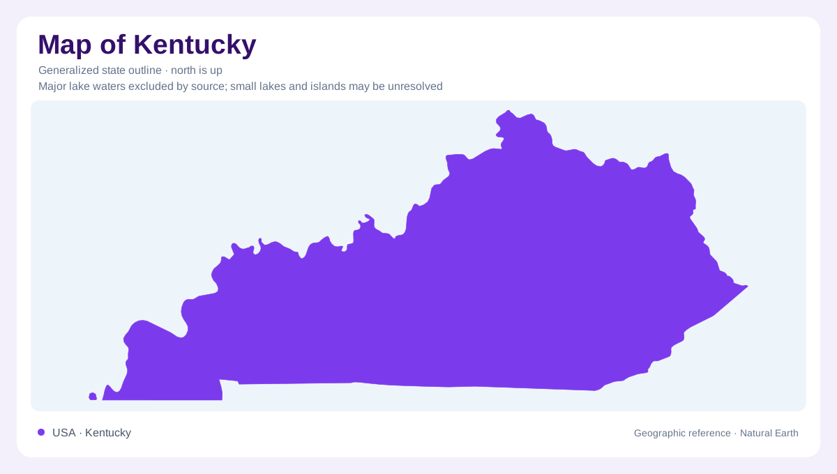
Kentucky's nickname can obscure an important distinction: the Bluegrass is a defined central region, not a description of every part of the state. Its Inner Bluegrass has gently rolling land developed on limestone, while the Outer Bluegrass generally has deeper valleys where interbedded limestone and shale erode more readily. Along the Kentucky River, resistant carbonate rocks form the Palisades, a striking interruption of the surrounding landscape. These cliffs expose some of the oldest surface rock in the state. Those differences make the region more varied than an expanse of pasture. A statewide outline cannot show the relationship between its rolling uplands, incised river corridor and changing underlying rocks.
Isolated hills mark a transition
Around the Outer Bluegrass, the Knobs form a belt of steep, often conical hills. These are remnants left as streams separated pieces from an adjoining plateau. Resistant limestone or sandstone can protect their tops while softer shale beneath erodes into slopes. Their shape therefore records removal of surrounding material, rather than volcanic construction. Berea and the country around Bernheim Forest provide geographic references for this transition. The Knobs also differ from a continuous escarpment: isolated summits and intervening lower ground create a broken boundary between regions instead of one uninterrupted ridge across central Kentucky.
Water travels beneath the Pennyroyal
The Pennyroyal, also called the Mississippian Plateau, contains extensive limestone terrain where dissolving rock produces caves, springs and sinkholes. Surface drainage alone gives an incomplete account because streams can disappear underground and reemerge elsewhere. Mammoth Cave belongs to this limestone landscape. The region's plateaus and escarpments should not be interpreted as uniformly solid barriers: their interiors may contain branching water passages. This is the geographic meaning of karst, a system connecting surface depressions with underground routes. A terrain map and a drainage map therefore answer different questions here, and neither a sparse stream pattern nor gentle ground proves an absence of water.
Sandstone shapes the eastern uplands
Eastern Kentucky's coal field occupies part of the Cumberland Plateau. Its western margin includes the Cumberland Escarpment, where resistant sandstone helps form cliffs, gorges, rock shelters and natural arches. Red River Gorge and the country around Natural Bridge illustrate this edge. Farther inside the region, forested hills are dissected by narrow valleys rather than arranged as one smooth plateau surface. Pine Mountain has a different structural explanation: a thrust fault lifted resistant rock into a long ridge. Keeping that distinction matters because similar-looking high ground may reflect either differential erosion or displacement of rock along a fault.
Western Kentucky changes character again
The Western Kentucky Coal Field belongs to the larger Illinois Basin and is geographically separate from its eastern counterpart. Its bordering escarpments are generally less dramatic than the Cumberland margin. Farther west, the Jackson Purchase forms part of the Mississippi Embayment and Gulf Coastal Plain. Easily eroded, unconsolidated sediments help produce low relief, with sloughs, ponds and wet ground unlike the eastern sandstone uplands. Kentucky thus contains several connected but distinct geographic settings. Reading from the central limestone country outward reveals changes in rock, drainage and slope that a single description of mountains, farmland or river lowlands would conceal.