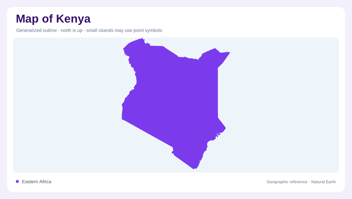
An equatorial country with many elevations
Kenya straddles the equator in East Africa, extending from Lake Victoria in the west to the Indian Ocean in the southeast. Its neighbours include Uganda, Tanzania, South Sudan, Ethiopia and Somalia. Latitude alone gives a misleading impression of uniform tropical conditions: elevation ranges from the coast to the high summit of Mount Kenya, while extensive northern areas are arid. A country map should show those contrasts before focusing on individual protected areas or cities. The main organising features are the central highlands, the Rift Valley, western lake drainage and broad dry interior landscapes, each connected to a different pattern of water.
The Rift divides the high country
The Rift Valley cuts through the central highlands and contains a sequence of lakes and enclosed drainage areas. Its floor, bordering escarpments and neighbouring uplands form separate landforms even where a small map compresses them into one band. Lake Turkana extends through the northern Rift setting, while Naivasha, Nakuru, Bogoria and Baringo occupy other basins farther south. These waters differ in chemistry and drainage; not every Rift lake is saline. Relief shading helps explain their enclosed positions, but a lake's colour alone cannot identify its salinity, outlet or water balance. Basin structure supplies the missing context for interpreting the chain.
Highland forests and river sources
The Mau Forest Complex, Aberdare range, Mount Kenya, Mount Elgon and Cherengani Hills form important upper catchment areas. Their elevated forests collect rainfall and feed river systems serving lower landscapes. These source regions are scattered across the western and central highlands rather than concentrated on one mountain. The Tsavo provides a different connection, receiving water from the Kilimanjaro area beyond Kenya's southern frontier. Following tributaries upstream therefore reveals both internal highland sources and wider regional relationships. A map centred only on lowland rivers can conceal these dependencies, especially where the headwater forests occupy a small area relative to the catchment below.
Outlets to lake, sea and interior
Western rivers drain toward Lake Victoria, linking part of Kenya with the Nile system. The Tana and Athi catchments extend toward the Indian Ocean, while the Ewaso Ng'iro North drains an interior area. These destinations distinguish several water geographies within one country. A river running away from highland slopes does not necessarily reach the coast. The Rift's inland basins form another category, gathering water without joining either the western lake outlet or the southeastern sea. Mapping the divides clarifies how nearby mountain slopes can supply places separated by great distances and by very different lowland climates across Kenya.
The coast and the dry northeast
The coastal belt has a maritime tropical setting, while aridity becomes prominent across much of the north and east. The Chalbi Desert illustrates the dry northern landscape, contrasting sharply with montane catchments. Seasonal rainfall and uneven water distribution make national averages unhelpful for interpreting individual basins. At the coast, the Tana delta adds a lowland wetland environment to the country's physical range. Reading Kenya through these linked features preserves the differences among forested heights, Rift lakes, dry plains and ocean frontage. Their relationships explain the country more accurately than an image of uninterrupted savanna stretching evenly from border to border.