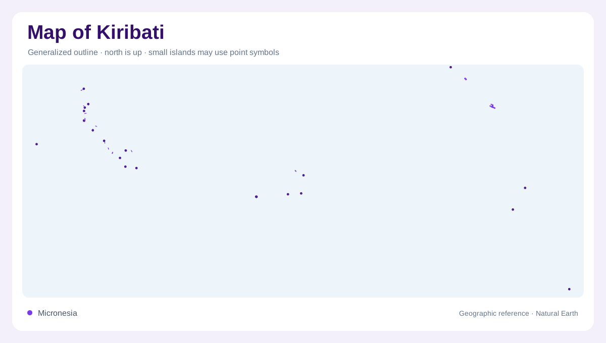
A country spanning an ocean region
Kiribati is spread across the central and western Pacific in three main island groups: the Gilberts, Phoenix Islands and Line Islands. Their separation is fundamental to the country's geography. A map centred on Tarawa alone omits much of the territory, while a whole country view can make individual islands almost invisible. The solution is to retain both scales, with a locator and identified island detail. The intervening ocean is not unused background; it explains the distances between small areas of land. Similar looking dots on a world map can belong to different groups within this dispersed national setting.
Tarawa within the Gilbert group
Tarawa belongs to the Gilbert Islands in the western part of the country. Its inhabited southern area occupies narrow land around a lagoon rather than a broad continental plain. Betio forms a settlement reference within this setting. The lagoon shore and ocean shore face different water environments, even where only a narrow strip separates them. A detailed map should distinguish those edges and the individual islets forming the atoll. Causeways add engineered connections in some places, but their presence does not turn the entire lagoon perimeter into naturally continuous land or explain the configuration of every other Kiribati atoll.
Phoenix and Line islands farther east
The Phoenix Islands and Line Islands extend the national frame far east of the Gilberts. Kiritimati is a land and settlement reference in the Line group, alongside other islands such as Tabuaeran and Teraina. These should not be confused with neighbouring countries' islands simply because their labels cluster within the same Pacific map panel. Group names help organise the geography, while individual island names establish the landforms. Insets need explicit scales because enlargement can conceal both relative area and true separation. The different groups share an ocean setting, but they do not form a compact archipelago around one central island.
Atolls and the raised island exception
Most Kiribati islands are low coral atolls or reef islands, but Banaba is a raised limestone island. That exception matters because a description of narrow land encircling a lagoon cannot be applied to every component. Atolls themselves also vary: lagoons, reef flats and exposed islets occupy different proportions. The boundary between land and reef depends partly on water level and the mapping convention used. A small land area can therefore sit within a much larger reef structure. Reading the reef outline separately from the exposed shore gives a more accurate picture than assuming each blue enclosed area represents an ordinary inland lake.
Fresh water beneath narrow land
Rainfall supplies freshwater resources on many low islands, including groundwater lenses within porous ground. These lenses are distinct from the surrounding seawater and can be affected by drought or salinity. Their presence cannot be inferred simply from a lagoon's size, because lagoon water is not a freshwater reservoir. The contrast connects island width, rainfall and subsurface storage in a way unfamiliar on continental river maps. Kiribati's geography is thus best read through island groups, individual reef systems and narrow land surfaces, with Banaba retained as a different landform. No single atoll outline adequately represents the entire country's widely separated oceanic territory.