An inland Balkan setting
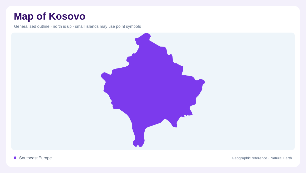
Kosovo occupies an inland position in the Balkans, adjoining Albania, Montenegro, Serbia and North Macedonia. Its status is disputed and recognition is not universal, so inclusion in a geographic collection should not be treated as a sovereignty ruling. A map needs a clear boundary legend and consistent place names. The physical landscape contains lower basins surrounded by mountain regions, creating distinctions that remain useful regardless of cartographic convention. Pristina provides an eastern central urban reference, while other places occupy different basin settings. The country sized outline is therefore a starting frame, not an explanation of the terrain or its regional water connections.
Lower basins within mountain margins
The western basin around Peja, Gjakova and Prizren contrasts with the lower interior farther east around Pristina and neighbouring areas. Mountains along the western and southern margins give these basins an enclosure, while intervening higher ground separates local drainage. A map showing only town symbols can hide that structure. Relief reveals why two nearby places may occupy different catchments even where their administrative labels appear adjacent. The mountain edge also continues into neighbouring territories, making a broader Balkan view useful. Basin floors and slopes should be read together rather than treating the entire area as uniformly mountainous or uniformly low.
White Drin drainage in the west
The White Drin, also called Drini i Bardhë, organises much of western Kosovo's river geography. Its basin links the western lowlands with the Drin system beyond the boundary. Tributaries descend from enclosing uplands, gathering water into a network distinct from the northeastern rivers. The Radoniqi reservoir belongs to this western basin setting and illustrates the addition of managed water storage to drainage. A reservoir is not another stretch of river widened by nature; its outline reflects an impounded landscape. Keeping channels, tributaries and storage areas separate makes the western basin more legible at local and regional scales.
Ibar and southeastern river connections
The Ibar, or Ibër, and its associated Sitnica system form a northeastern drainage connection toward the Danube basin. The Morava e Binçës provides another eastern route within that wider system. The Lepenac, or Lepenc, drains southward through a different connection. Together with the White Drin, these rivers divide Kosovo into four principal basin groupings. Their alternative names can make maps look inconsistent even when they show the same channel. Matching river courses and confluences is more reliable than assuming different spelling means a different river. Watershed boundaries explain the contrasting directions in which water leaves this inland landscape.
Water maps and administrative maps
Water resources are unevenly distributed among Kosovo's basins, while settlements and managed supplies add another pattern of demand and connection. A river map should not be interpreted as a current water quality assessment or a guarantee of supply. Likewise, planning areas on thematic maps may differ from municipal boundaries or physical catchments. The legend must identify which kind of division is shown. Reading Kosovo through its four river systems and surrounding relief keeps these categories clear. It also preserves the distinction between a geographic description and the meaning of boundaries, allowing mountain margins, valley floors and cross-border water connections to remain the subject.