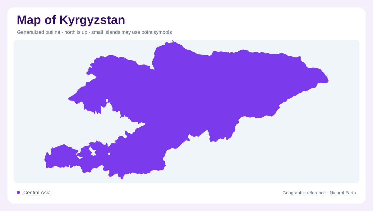
High country between Central Asian neighbours
Kyrgyzstan is a landlocked Central Asian country bordered by Kazakhstan, China, Tajikistan and Uzbekistan. Mountains occupy most of its area, making a flat outline an incomplete description. The Tien Shan dominate much of the north and east, while the Pamir-Alay form another major mountain setting in the southwest. The national border cuts through this wider highland region rather than enclosing an isolated massif. At regional scale, mountain chains establish the frame; at local scale, valleys and passes explain the space between them. A place can lie near a frontier yet remain separated from neighbouring terrain by a ridge.
The Tien Shan's ridges and glaciers
High elevations in the Tien Shan support snow and glaciers that feed river systems below. Victory Peak, also known as Jengish Chokusu, stands near the eastern border with China and provides the country's highest summit. Its height is one part of a larger pattern of ridges, ice and enclosed valleys. A glacier map reveals source areas that a river map may reduce to tiny blue beginnings. Seasonal melting transfers water from those heights toward lower basins. The resulting connection between mountain storage and downstream flow is central to Kyrgyzstan's geography, extending far beyond the surroundings of individual peaks.
Issyk-Kul within the mountain frame
Issyk-Kul occupies a northeastern basin surrounded by mountains. Its open water forms a conspicuous contrast to the narrow valleys elsewhere in the country. The lake should be distinguished from reservoirs and from glacier ice, despite all appearing as water related features on thematic maps. Its position within an enclosed basin makes the surrounding divides essential to understanding its setting. Tributaries enter from nearby slopes, while the lake surface creates a broad low point relative to the enclosing ranges. A regional map that preserves both the water and mountain margins explains more than a close view of the shoreline without its wider relief.
Lower corridors toward Kazakhstan and Fergana
The Chu and Talas valleys lie near the northern border with Kazakhstan, providing lower corridors alongside the mountain interior. In the west and southwest, the Fergana Valley introduces another lowland setting shared across national boundaries. The Fergana range helps separate that western valley region from central and eastern mountain country. These lower areas are not one continuous plain surrounding Kyrgyzstan. Each has its own drainage direction and relationship with neighbouring ranges. Comparing their positions prevents the country's settlements and cultivated areas from appearing randomly scattered across a uniformly mountainous surface. Valley geography gives that distribution a physical explanation without requiring current population figures.
The Naryn and outward flowing water
The Naryn forms a connection between Kyrgyzstan's interior and the Syr Darya system. Other basins, including the Chu and Talas, carry mountain water toward different downstream regions. Snow and glacier melt contribute strongly to seasonal river flow, so a permanent channel symbol does not indicate constant discharge. The contrast between upland flow generation and lower basin water use is visible only when the map extends beyond the outline. Kyrgyzstan is therefore best read as a set of high source regions and distinct valley exits, with Issyk-Kul adding a major enclosed waterbody within the same complex Central Asian mountain framework.