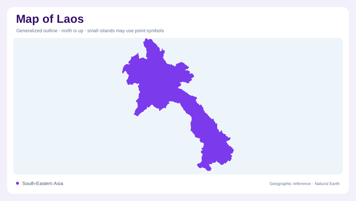
An inland country with a long river edge
Laos is landlocked in mainland Southeast Asia, adjoining China, Vietnam, Cambodia, Thailand and Myanmar. Its elongated territory extends north to south, with mountains occupying much of the interior. The Mekong supplies an organising line along large parts of the western side, but Laos is not simply a narrow strip beside that river. Tributary valleys reach deep into the highlands, and some eastern catchments drain in another direction entirely. A regional map should include the neighbouring countries because both the Mekong and smaller rivers cross or follow frontiers. The absence of a coastline makes these river connections important to its setting.
Mountain country and narrow valley floors
Hills and mountains dominate Laos, with Phu Bia providing the highest summit. Cultivable low ground is concentrated in valleys and plains rather than spread evenly across the country. A valley floor can therefore be important despite occupying little area at national scale. Relief shading should show both the highland masses and the corridors between them. Mountain symbols alone conceal the way rivers divide and connect the terrain. In northern Laos, spaced ridges create many separate catchments, making apparent proximity on a flat map an unreliable indication of whether two places occupy the same valley or opposite sides of a watershed.
Tributaries feeding the Mekong
The Nam Ou, Nam Suang and Nam Khan connect northern uplands with the Mekong. Farther south, systems including the Nam Ngum, Nam Nhiep and Theun-Kading gather water from other interior regions. These names identify distinct catchments, not successive names for one river. Their arrangement gives Laos a branching physical structure behind the main Mekong corridor. A tributary's confluence shows where an inland valley joins the system, while its headwaters reveal which slopes supply it. Following these connections is a more useful way to understand regional geography than tracing the national boundary alone through otherwise undifferentiated mountain shading on the map.
Southern plains and broadening drainage
The Savannakhet plain provides a southern lowland contrast to the more rugged northern country. The Banghiang basin is associated with this central southern region, while the Done and Kong systems add other southern and southeastern connections. Near Pakse, the Mekong receives the Chi-Mun system from Thailand, illustrating how tributary contributions can arrive from outside Laos. The river then continues toward Cambodia. A map clipped to national land misses part of that water geography. The southern landscape is best read as a set of connected plains and catchments within a much larger basin extending beyond every local administrative division.
Rivers beyond the main basin
Although most of Laos lies within the Mekong basin, some eastern rivers drain toward Vietnam and the sea. The Ma and other smaller systems belong to that contrasting side of the divide. Their existence prevents the Mekong from becoming an explanation for every valley in the country. Rainfall is seasonal, and the presence of a mapped channel does not specify its flow at a particular time. Reading Laos through its mountain divides, tributary basins and limited plains preserves these differences. The long western river corridor supplies the frame, while the highlands determine the varied paths that water follows within and beyond it.