Two coastal faces of a Baltic country
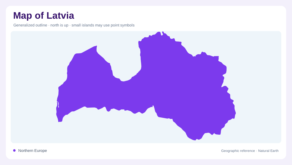
Latvia meets the open Baltic Sea in the west and the Gulf of Riga farther northeast along its maritime edge. Estonia lies to the north, Russia and Belarus to the east and southeast, and Lithuania to the south. The western Kurzeme peninsula forms a distinct part of this outline. Its two coastal orientations help explain why a single straight shoreline is a poor shorthand for Latvia's position. Inland, lowlands alternate with uplands shaped by glacial deposits. The country lacks great mountain barriers, but its small elevation differences still organise rivers, wetlands and the transition between coastal and interior landscapes.
Kurzeme and the Venta
Kurzeme contains its uplands and river systems, with the Venta providing the principal drainage line. Its setting differs from the eastern part of Latvia, where other rivers flow toward the Gulf of Riga. The western peninsula should therefore be interpreted as more than an extension of the capital's hinterland. Its open Baltic coast and inland relief create a separate regional frame. A shaded elevation map reveals broad upland surfaces rather than sharp alpine ridges. Following the Venta across that terrain connects the peninsula's interior with its coastal outlet and distinguishes its basin from neighbouring rivers directed toward the gulf.
The Zemgale lowland corridor
The Lielupe flows through the Zemgale plain, a lowland area between western and eastern uplands. This gentle terrain is a contrast within Latvia's otherwise undulating landscape. Plains can appear visually unremarkable on a national map, yet their drainage patterns and soils make them distinct geographic regions. The Lielupe system links land beyond Latvia with the Gulf of Riga, showing again that a border is not a watershed boundary. Compare river courses with the enclosing higher ground to understand the plain's extent. Its edges are gradual in places and need not match the administrative lines drawn across it.
Daugava from distant headwaters
The Daugava begins in Russia, crosses Belarus and enters Latvia from the southeast before flowing northwest to the Gulf of Riga. Riga lies at the lower end of this national river corridor. Tributaries including the Ogre, Aiviekste and Dubna connect the main channel with inland catchments. The river is thus both a Latvian geographic axis and part of a much larger international basin. A map cropped at the eastern frontier shows only its downstream section. Distinguishing the main channel from its tributary network helps explain how inland lakes and uplands are connected to a coastal outlet far from their immediate surroundings.
Eastern uplands and smaller divides
The Vidzeme uplands contain Latvia's highest ground, although elevations remain modest by European mountain standards. The Gauja and Salaca add important drainage systems north of the Daugava. Farther east, some smaller rivers belong to the Velikaya and ultimately the Narva basin, rather than flowing directly to Latvia's own coast. Wetlands and peat areas introduce further detail to this glacially shaped terrain. These distinctions make Latvia's map more varied than its low average elevation suggests. Reading the open Baltic coast, Gulf of Riga, western peninsula and inland divides together preserves the differences between regions while explaining their shared connection with the wider Baltic sea basin.