Four belts from sea to frontier
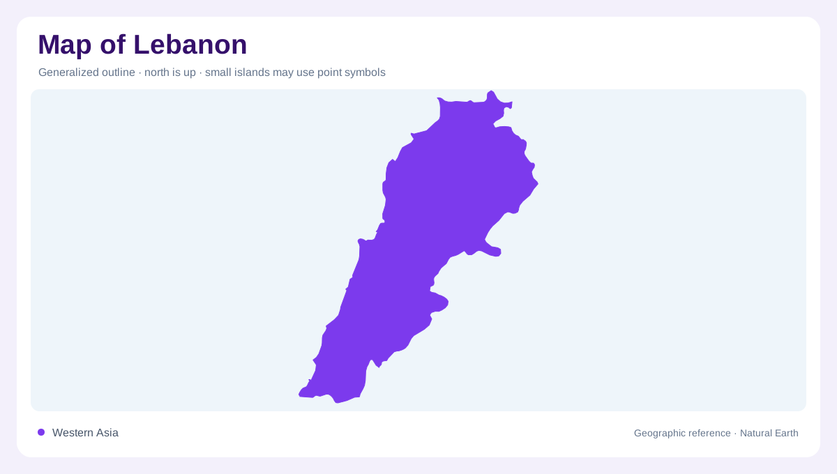
Lebanon is a narrow eastern Mediterranean country whose terrain can be read in four broadly parallel belts. From west to east come the coastal strip, Lebanon Mountains, Bekaa Valley and Anti-Lebanon range. Syria adjoins the north and east, and Israel lies to the south. The country's limited width makes the changes in elevation especially striking: a short horizontal distance can span coast, mountain slope and high interior valley. A simple outline misses this arrangement. Cross sections and relief shading reveal why the Mediterranean frontage and Bekaa occupy different physical settings despite lying within the same relatively narrow national frame.
The height behind the coast
The Lebanon Mountains rise immediately inland from much of the coastal belt. Qurnat as Sawda is the highest summit, in the northern part of the range. Steep slopes direct many short watercourses westward to the Mediterranean, making the mountains and coast parts of connected catchments. Their limited lengths should not diminish their importance: elevation changes are concentrated into relatively small areas. The coastal strip itself varies locally, with river mouths and lowland pockets interrupting the foot of the uplands. On a detailed map, these openings explain more about the terrain than a single continuous line marking the mountain front.
An elevated valley between ranges
The Bekaa is an inland valley at substantial elevation, not a continuation of the Mediterranean coastal plain. Its position between the Lebanon and Anti-Lebanon ranges gives it a distinct enclosure and drainage pattern. Alluvial soils occupy parts of the valley, contrasting with the widespread carbonate rocks of surrounding country. The Anti-Lebanon chain continues along the eastern border zone, so its physical extent should be read across national cartographic colours. Looking along the valley rather than only across the country brings its elongated form into focus. That orientation helps explain why rivers can follow the interior before finding very different outlets.
Litani, Orontes and Hasbani
The Litani drains an entirely Lebanese basin and eventually reaches the Mediterranean in the southwest. The Asi, or Orontes, flows northward into Syria, while the Hasbani belongs to the Jordan system. These three rivers demonstrate that inland Lebanese water does not all descend directly west to the nearest coast. Their watersheds divide the Bekaa and adjoining uplands into different geographic connections. The northern El Kebir provides another transboundary example, forming part of the Syrian frontier before reaching the sea. Retaining the wider regional river network helps distinguish a political boundary from the topographic divide determining which way water actually travels.
Springs beneath carbonate country
Carbonate rocks cover much of Lebanon, allowing fissures and fractures to support underground water movement. Springs contribute to rivers, alongside rainfall and snowmelt. A drainage map therefore shows the visible portion of a system partly concealed within the rock. Seasonal supply is uneven, with dry summers contrasting with wetter periods and mountain snow accumulation. These relationships join Lebanon's four terrain belts without making them interchangeable. The coast receives short steep catchments; the mountain chains store and release water; the Bekaa organises longer inland drainage. Reading all three dimensions together gives the country's narrow outline a depth that its width alone cannot suggest.