An enclosed country at elevation
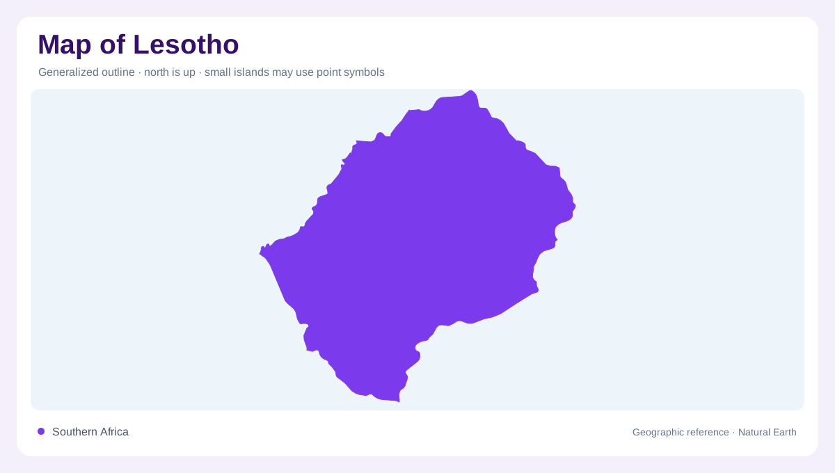
Lesotho is completely surrounded by South Africa, yet its physical identity comes as much from altitude as from that enclosed outline. The entire country lies high above sea level. Even the areas called lowlands are elevated compared with coastal plains elsewhere in southern Africa. This relative meaning is important: a lowland label identifies ground below Lesotho's mountains, not ground close to the ocean. A regional relief map shows the country within a larger southern African upland setting. Its border encloses mountain blocks, foothills and river valleys whose elevations and drainage relationships offer a richer explanation than the enclave shape alone.
The Maloti mountain interior
The Maloti, also spelled Maluti, dominate the mountainous interior. Exposed rock, high slopes and deeply cut valleys produce a landscape in which horizontal distance can conceal vertical change. The foothill belt lies between these mountains and the lower western country, forming a transition rather than a sharp wall everywhere. A summit map is useful, but valley depth is equally important for understanding the terrain. Rivers cut into the highland mass and connect otherwise separated upland areas. The resulting relief is not a smooth elevated plateau; it is a varied system of ridges and incised corridors within a high regional surface.
Western lowlands and border drainage
Lesotho's lowland belt follows much of the western side and varies in width. The Mohokare, known downstream as the Caledon, marks part of the boundary with South Africa. Its valley helps organise this western setting, while tributaries descend from higher ground within Lesotho. The Makhaleng forms another important drainage system, rising near Mount Machache and leaving the country farther south. These rivers show that the western edge is both a political margin and part of a broader watershed. Comparing the frontier with nearby contours reveals where it follows water and where surrounding relief requires a separate physical interpretation.
The Senqu's interior corridor
The Senqu, called the Orange beyond Lesotho, drains a large part of the country. It begins in the northern highlands and leaves near Quthing after gathering water from interior tributaries. Its valley penetrates deeply into the mountains, providing a distinct geographic region within the uplands. All Lesotho lies within the larger Orange basin, so even rivers with separate local names eventually contribute to a shared regional system. A map ending at the border hides that downstream continuity. The Senqu valley is therefore both an internal landform and the principal connection between Lesotho's mountains and a much larger southern African drainage network.
Reservoirs shaped by mountain valleys
Katse reservoir occupies the Malibamatso catchment, while Mohale impounds the Senqunyane system. Their branching outlines follow drowned valleys rather than independent natural lake basins. Both belong to the geography of the Lesotho Highlands Water Project, which links highland water with uses beyond individual catchments. Distinguish those managed transfers from natural river direction when interpreting a water infrastructure map. Reservoir arms, steep surrounding slopes and nearby divides make the underlying topography legible even after impoundment. Lesotho's essential pattern remains an elevated western belt rising through foothills into dissected mountains, with the Senqu and its neighbouring river systems carrying that highland water outward.