An Atlantic country with inland links
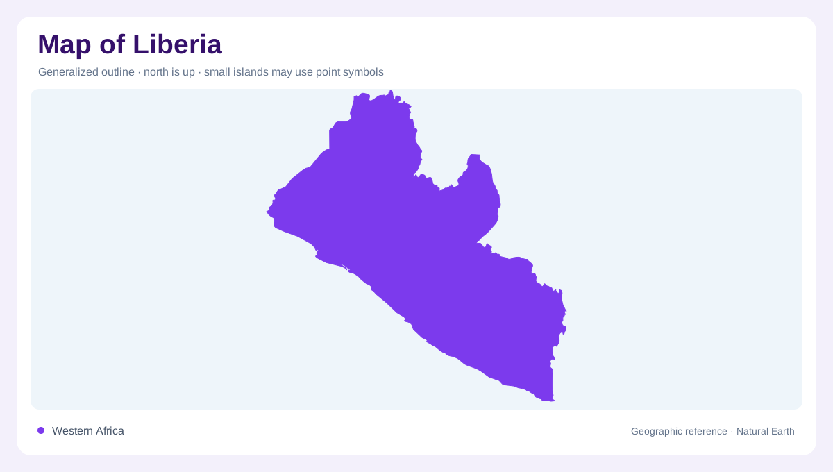
Liberia lies on the Atlantic coast of West Africa, with Sierra Leone to the northwest, Guinea to the north and Ivory Coast along the eastern side. Its coastline forms the seaward edge of a landscape rising toward inland hills and plateaus. The country's rivers make the connection between those two settings clear. Many flow generally southwestward, crossing successive elevation belts on their way to the ocean. A regional map should include their upstream neighbours because several basins extend beyond Liberia. The coast is the receiving margin of these systems, not the beginning of an otherwise isolated national water network.
From coastal plains to higher ground
The relief sequence moves from low coastal plains through hills and rolling plateaus into mountain country, especially toward the northeast. These belts are broadly parallel to the coast, although individual river valleys interrupt them. Their gradual progression differs from a single continuous cliff or mountain wall behind the shore. At national scale, the inland rise can appear subdued; closer contours reveal dissected surfaces and local slopes. Elevation and vegetation should also be read separately. A forested area may occupy low wet ground, plateau or mountain slope, and the same land cover colour can conceal these different physical settings.
Rivers crossing the rising belts
The Mano, Lofa, Saint Paul, Saint John, Cestos and Cavalla form major river systems. Their generally inland to coastal courses cut across the relief belts, creating a repeated pattern of catchments separated by divides. Smaller coastal streams drain areas between the larger mouths. This difference in basin size matters: two rivers entering the Atlantic near one another may gather water from very different distances inland. Trace the tributaries rather than judging by the width of a mouth alone. A broad estuarine reach can reflect marine influence, while a narrower upstream channel may belong to a catchment stretching across national boundaries.
Frontiers that share flowing water
The Mano system connects Liberia with Sierra Leone, while rivers including the Lofa link its water geography with Guinea. The Cavalla forms much of the boundary with Ivory Coast. These relationships place the national outline within shared catchments. Where a border follows a river, the two banks belong to different jurisdictions but the channel remains one physical feature. Elsewhere, water crosses the boundary and continues through Liberia toward the sea. A basin map makes those distinctions more visible than a political map. It also explains why rainfall outside the country can contribute to river conditions downstream within Liberia's coastal and interior landscapes.
Lagoons, sandbars and seasonal water
Along the shore, lagoons, mangrove wetlands and sandbars complicate the apparent simplicity of the Atlantic edge. River sediment and coastal processes meet here, creating environments unlike the rolling inland plateaus. Liberia receives rainfall, yet its seasonal distribution means abundant annual totals do not imply equal water availability every month. Wet ground in a coastal depression and a stream on an upland slope respond differently to that seasonality. Reading the country through its elevation belts and river crossings brings these contrasts together: higher inland sources, distinct drainage corridors and low coastal receiving areas, each contributing a different part of Liberia's physical geography.