A long coast above a desert interior
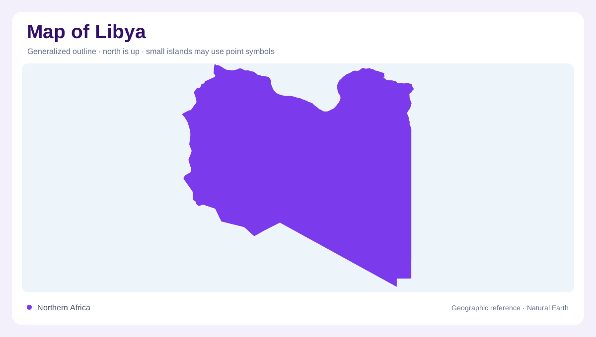
Libya faces the Mediterranean across a long northern coastline, while most of its territory extends into the Sahara. Tunisia and Algeria lie to the west, Niger and Chad to the south, Sudan to the southeast and Egypt to the east. The maritime edge and the deep interior occupy different climatic settings. A coastline centred map can make the country appear mainly Mediterranean, although desert dominates its area. Conversely, a uniform desert tint misses the northern uplands and coastal plains. Those limited northern environments are important precisely because they contrast with the larger arid basins and mountain areas inland.
Two northern upland regions
Jabal Nafusah rises behind the western coastal country, while Jabal al Akhdar forms a separate upland region in the northeast. They are not one unbroken mountain chain stretching along the entire shore. Coastal plains vary in width, and the Gulf of Sidra creates an indentation between the western and eastern coastal regions. Rainfall is greater in parts of the northern uplands than in the Saharan interior. The resulting contrast makes elevation and coastal position useful together: latitude alone does not explain why one northern district supports a different landscape from another farther along the same general Mediterranean frontage.
Depressions, oases and desert relief
Interior depressions contain oasis settings separated by dry terrain. Southern and western mountain areas add another relief element beyond the northern ranges. The Sahara here includes rocky surfaces, sand seas and low basins rather than an uninterrupted field of dunes. The Ubari lakes lie within a southwestern sand sea, illustrating how small water features can occur inside a much larger arid landscape. Their presence does not imply a regional abundance of surface freshwater. At a suitable scale, surrounding dunes, basin edges and isolated water patches reveal more than an oasis symbol alone can communicate about the local physical setting.
Wadis without permanent river networks
Libya has no permanent river network comparable with the great river systems of neighbouring regions. Wadis carry episodic runoff, and their channels can remain dry between rainfall events. A map may therefore show branching drainage lines across land without depicting year round flowing water. Coastal salt pans and temporary wet areas require similar care in interpretation. Their outlines reflect particular conditions and mapping conventions, not necessarily a stable lake shore. The difference between a wadi, lagoon, salt pan and freshwater lake matters especially in Libya, where occasional surface water can occupy striking but hydrologically very different places within an overwhelmingly dry country.
Water stored beneath the Sahara
Groundwater is central to Libya's water geography. Deep sedimentary basins contain fossil reserves, while some northern coastal aquifers receive rainfall recharge. The Sarir-Kufra system connects with the wider Nubian Sandstone Aquifer, shared beyond Libya, and western systems also extend into neighbouring countries. These underground boundaries differ from surface catchments. The Great Man-made River infrastructure transfers groundwater toward northern demand centres, adding engineered connections to the natural landscape. A water map should distinguish those pipelines from rivers. Reading Libya thus requires two layers: visible relief and intermittent surface drainage above, with aquifer systems below that explain important links between desert wellfields and the coast.