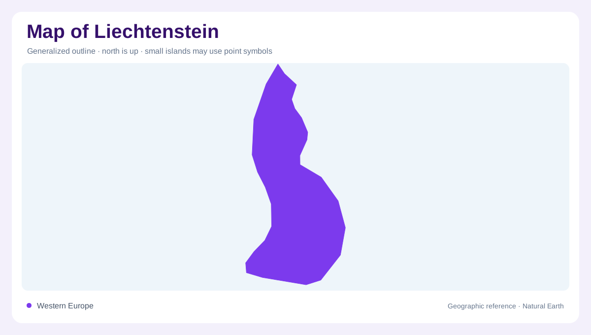
A narrow country in the Alps
Liechtenstein occupies a narrow Alpine strip between Switzerland and Austria, with the Rhine defining much of its western edge and the Rätikon rising to the east. Its small area can look like one town on a continental map, yet the country crosses two distinct settings: a low valley floor and steep mountain country. The national portal places it in Europe’s Alpine region and gives an area of about 160 square kilometres. That scale rewards a layered reading. Begin with the neighbouring countries and river corridor, then enlarge the view to see how villages, wooded slopes and high passes fit within the compact outline.
The Rhine valley floor
The western lowland is the most useful starting surface for a physical map. The Rhine runs along the boundary with Switzerland, while the settlement belt lies between the river plain and the rising eastern wall. Vaduz, the capital, sits at the foot of the mountains rather than in the middle of the main floodplain. Schaan and Triesen extend the built pattern along the valley, while Balzers marks the southern part of the national outline. Drainage channels, fields and transport corridors appear linear here; their alignment makes the valley’s north–south grain easier to recognize than the country’s short east–west width.
Mountains above the settlements
East of the valley, the land rises abruptly into the Rätikon, a mountain system shared with the surrounding Alpine region. Triesenberg and the settlements around Steg occupy elevated terrain above the lowland villages, so a map should not treat every place name as part of one flat urban strip. High ridges, folded slopes and narrow valleys shape movement and visibility even when a small-scale map simplifies them into shaded relief. Grauspitz and neighbouring summits belong to this upper landscape. The mountains cover roughly half the country according to the national portal, a proportion that is easy to miss when the Rhine corridor dominates the page.
Forests, streams and enclosed valleys
More than forty percent of Liechtenstein is covered in forest, adding a second vertical pattern to its relief. Woodland patches climb from the valley margins onto slopes, while small streams descend through ravines toward the Rhine system. The Samina valley is a helpful interior reference: its enclosed mountain setting beside the rising eastern slopes and wooded ridges contrasts with the open agricultural floor. On detailed mapping, contour spacing explains why streams follow short, steep courses in the east but occupy engineered channels across flatter ground. Forest symbols therefore describe both habitat and the texture of the mountainous half of the country.
Eleven municipalities, one compact frame
Liechtenstein’s eleven municipalities provide a practical settlement layer for interpreting the physical outline. Ruggell and Gamprin lie toward the northern valley, Eschen and Mauren occupy the north-eastern transition, and Vaduz, Schaan, Triesen and Balzers anchor the central and southern corridor. Planken and Triesenberg climb the slopes, while Schellenberg sits on an elevated ridge above the lowland. These names reveal a country that is not simply a capital surrounded by wilderness. At national scale, larger settlements outline a valley sequence; at local scale, elevation separates communities that appear adjacent on a generalized map.