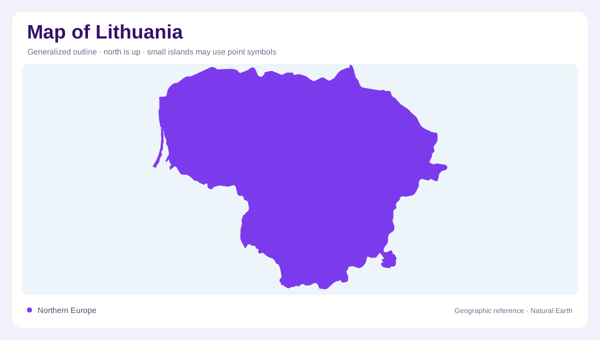
An eastern Baltic outline
Lithuania faces the Baltic Sea on Europe’s northeastern edge, with a compact mainland shaped by low plains, wooded uplands and river basins. Latvia borders the north, Belarus lies to the east and south, Poland approaches from the southwest, and Russia’s Kaliningrad region meets the country’s western land frontier. Vilnius and Kaunas sit inland, while Klaipėda anchors the maritime side. A national map is most legible when the coast is kept in view rather than treated as a detached appendage. The country’s geography is not mountainous; gentle relief, water and glacial deposits create its strongest regional contrasts.
The Baltic shore and lagoon
Lithuania Travel describes more than ninety kilometres of seaside, a narrow coast where beaches, dunes and pine forests form a distinctive band. The Curonian Spit is the clearest example of separate coastal geometry: a thin, elongated landform lies between the Baltic Sea and the Curonian Lagoon. Klaipėda stands beside the lagoon entrance, while Neringa occupies the spit’s Lithuanian section. Šilutė and the Nemunas Delta belong to the mainland side of this watery landscape. On a map, the spit should be read as its own strip of land, not as a broad peninsula fused visually with the rest of Lithuania.
Lakes and northeastern uplands
Aukštaitija, in the northeast, is presented by the national tourism agency as the country’s highland and lake district. Its label describes a landscape of many water bodies and gently elevated ground rather than dramatic peaks. Forests and lakes break up the agricultural pattern, making the region appear more textured on detailed maps than the western lowlands. The Nemunas and other river systems connect these interior waters to larger drainage networks. When reading relief, use lake clusters and watershed lines together: a small change in elevation can determine whether water moves toward the Nemunas, the Lielupe, the Venta or another Baltic outlet.
Forests, wetlands and southern space
Dzūkija occupies the southeastern part of Lithuania, where the tourism agency emphasizes forests, wetlands, sandy hills and hidden lakes. Wetlands soften boundaries between forest and open water on local maps. The region’s wooded texture differs from the more open agricultural character associated with Suvalkija, or Sudovia, to the south. Protected wetland landscapes such as the Čepkeliai area help explain why a map may show large green expanses with relatively few settlement symbols. Those spaces are not empty in a geographic sense: they hold water, soils and habitat that influence drainage and local land use. A closer view around the Ūla adds a river corridor within the forest mosaic.
Five regions, several useful scales
Lithuania Travel groups the country into five ethnographic regions: Lithuania Minor, Samogitia, Aukštaitija, Suvalkija and Dzūkija. These are cultural-geographic lenses rather than a substitute for physical relief or administrative boundaries. Lithuania Minor links the western coast, Curonian Lagoon and Nemunas Delta; Samogitia occupies the northwestern side; Aukštaitija reaches the lake-rich northeast; Suvalkija spreads across the southwestern plain; and Dzūkija fills the forested southeast. A regional map benefits from all three scales: the Baltic setting explains the coast, river basins explain connections inland, and the five-region framework preserves local differences that a single color wash would hide.