A coastal state with an inland reach
Louisiana occupies the southern end of the continental plains beside the Gulf coast. Its outline brings together an inland section of rolling country and a coastal zone of much lower terrain. The Mississippi is central to this geography, but it is not the only river organizing the state. The Sabine, Calcasieu, Mermentau, Vermilion, Teche and Atchafalaya belong to a wider network draining toward the coast. This variety matters when interpreting a map: proximity to the Mississippi does not mean every neighboring waterway follows its channel. Louisiana's physical geography combines several drainage routes with sediments laid down at different times.
The delta projects beyond the plain
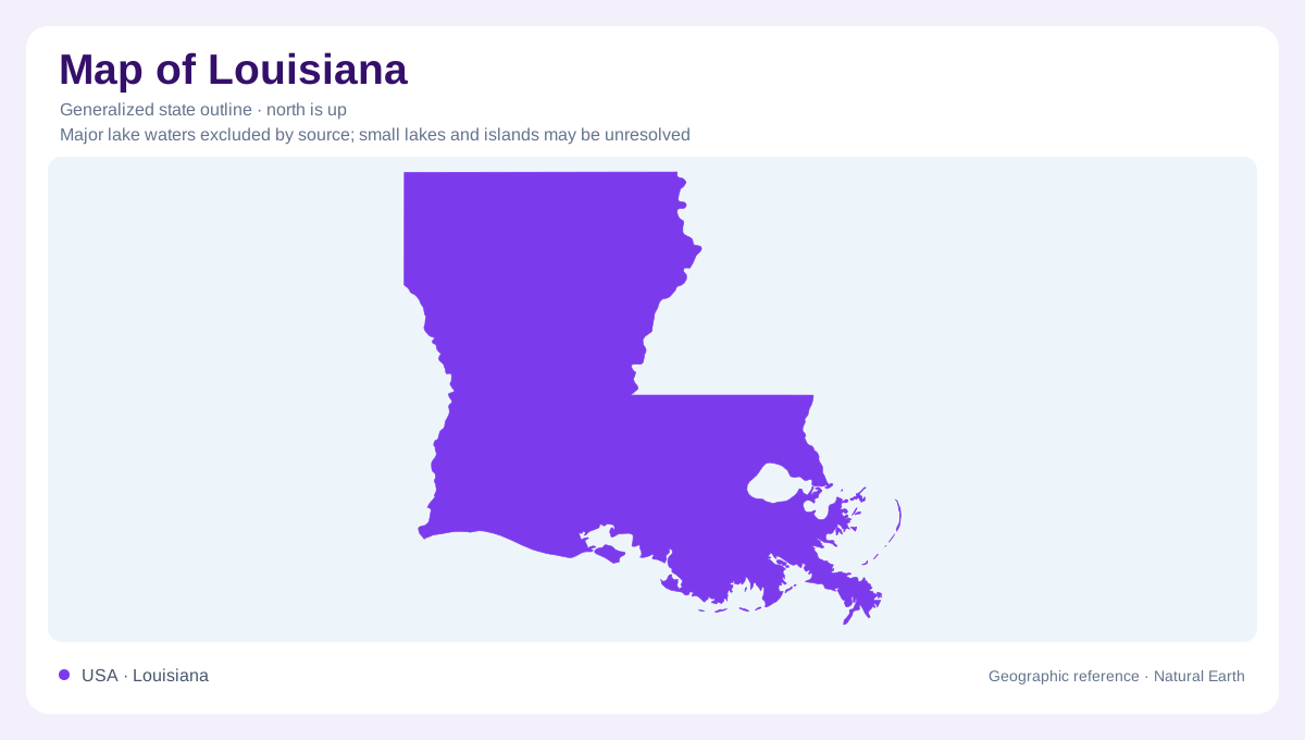
At the Mississippi's seaward end, branching distributary channels carry sediment outward to build the projecting delta. Its familiar bird-foot shape, projecting toward the east-southeast, reflects those fingers of river deposition rather than a broad, even coastline. Sandier channel deposits alternate with muddier ground between them, creating differences within apparently continuous lowland. As newly deposited sediment loads softer material below, compaction can lower the surface. Land building and subsidence can therefore occur within the same delta system. A coastline is a dated representation of this active environment, not a permanent edge carved into hard rock or a prediction of where future land will stand.
Wetlands form a landscape mosaic
Coastal Louisiana contains different wet environments rather than a single undifferentiated swamp. At Barataria Preserve south of New Orleans, marshes, wooded swamps and waterways occur together. Their contrasting vegetation and water cover reflect differences within the lowland landscape. Bayous also weave through settled parts of southern Louisiana, connecting its cultural geography with slow-moving water. A small elevation difference can matter greatly where surrounding land is low. Reading this landscape requires attention to the relationship between channels and adjacent ground, not simply the distance from the open coast. An outline cannot distinguish a wooded wetland from marsh or open water.
The northern ground is different
Moving inland, the western Gulf Coastal Plain becomes low, rolling and locally hilly before flattening toward the coast. Louisiana should therefore not be imagined as delta terrain from end to end. Sediment type influences these differences, and shallow groundwater occupies some of the layers beneath the surface. Rainfall replenishes water supplies, while evaporation, vegetation and runoff return much of that water to the atmosphere or rivers. The state's warm, humid coastal influence moderates southern conditions; northern districts have more variable temperatures. These inland contrasts explain why the geography around the coast cannot serve as a complete description of Louisiana.
A shoreline linked to distant watersheds
The Mississippi connects Louisiana with a watershed reaching across much of the continental interior. Conditions downstream therefore reflect water and sediment arriving from well outside the state, as well as local rain and coastal processes. Meanwhile, subsidence, wetland loss and rising sea level alter the relationship between land and water along the shore. These are geographic processes, not features that a simple state silhouette can resolve. Louisiana is best understood through its connected layers: inland rolling plains, broad river lowlands, branching delta channels and marshy coastal margins. Their boundaries overlap, and their interactions explain the state's unusually intricate southern edge.