A compact landlocked mosaic
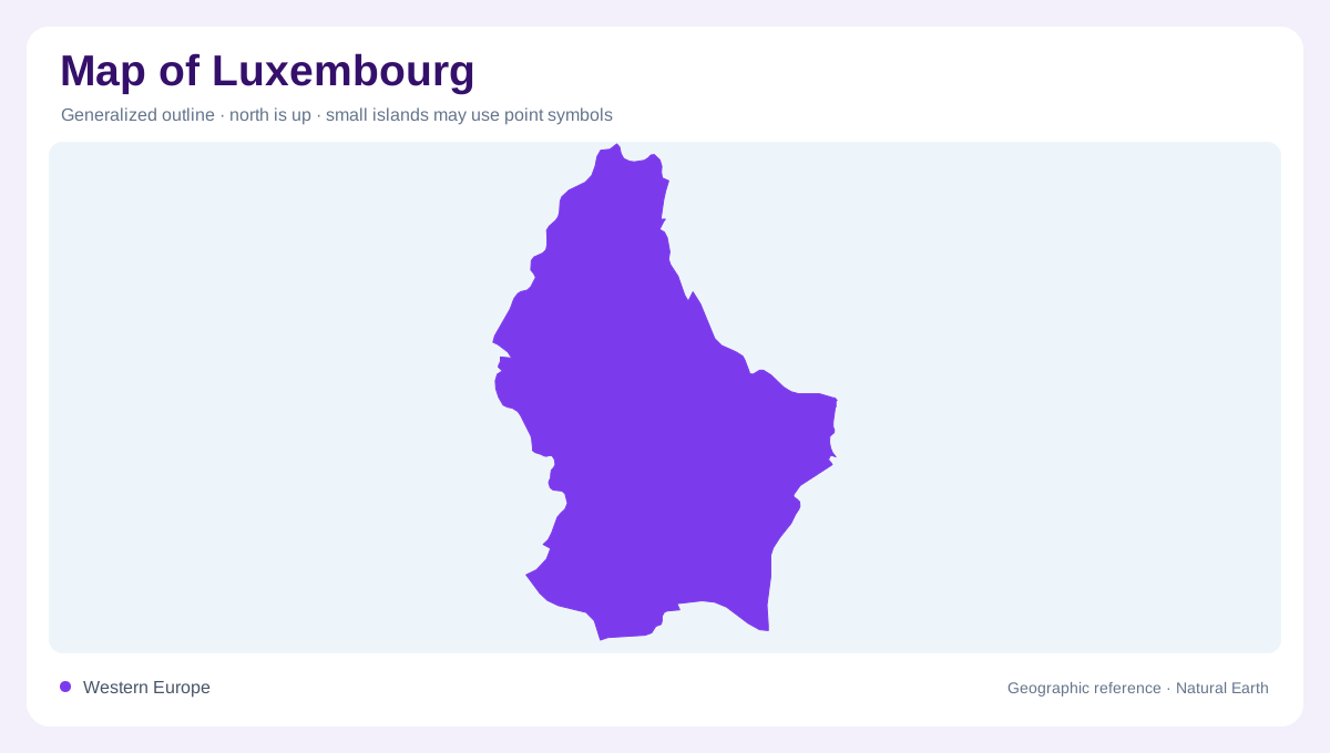
Luxembourg sits between Belgium, Germany and France, a compact landlocked country whose physical variety is larger than its outline suggests. The official tourism portal divides the country into five geographic regions: Éislek, Guttland, Müllerthal, Moselle and Minett, alongside Luxembourg City. This regional vocabulary is useful for map reading because it separates northern plateaus from central meadows, eastern river country and southern red-rock terrain. A national view shows close distances between these zones; a detailed view reveals different valley shapes, soils and land cover. Treat the country as a set of connected landscapes rather than a uniformly scaled patch of western Europe.
Éislek and the Upper Sûre
Éislek occupies the northern part of Luxembourg and is described by Visit Luxembourg as a land of steep valleys, plateaus and lush forests. The Sûre valley gives this upland region a strong drainage axis, while the Upper Sûre lake spreads water across a branching reservoir landscape. Vianden and Bourscheid provide recognizable valley landmarks, but the essential geographic pattern is relief: ridges remain broad on top and cut sharply where streams descend. On a shaded map, closely spaced contours should be read with the river network. They explain why northern distances feel longer across terrain than the country’s small overall dimensions imply.
Guttland and Müllerthal
Guttland forms the central and western transition, with lush meadows, rural villages and the Valley of the Seven Castles identified by the tourism portal. Eastward, Müllerthal is associated with rocky cliffs, forests and narrow ravines, giving the country a more broken surface than the open central grasslands. These regions should not be collapsed into one green interior. Guttland’s lush central meadows and cultivated openness contrast with Müllerthal’s exposed rock and wooded folds. A regional map helps retain that distinction, while a detailed map shows how small streams, forest blocks and village clusters occupy the space between larger river corridors.
Moselle vineyards and Minett red soil
The Moselle region follows Luxembourg’s southeastern river landscape, where vineyards occupy slopes above the valley and the river marks a cross-border edge. Farther south, Minett is known as the Land of the Red Rocks. Visit Luxembourg attributes that color to iron-rich soil and describes a landscape shaped by former open-cast mines, nature reserves and industrial heritage. Excavation exposes the underlying rock. The contrast is legible from above: vineyard rows trace sunny river slopes, while Minett’s excavated ground and wooded recoveries interrupt the southern plain. These are not decorative labels; they explain why geology and past extraction remain visible in the map’s land-cover pattern.
City, rivers and changing scale
Luxembourg City occupies a strategic central reference where built-up plateaus, ravines and river valleys meet. The Alzette and Pétrusse shape the city’s local relief, even though a national map may reduce them to short blue lines. At country scale, the Sûre and Moselle clarify northern and eastern drainage patterns; at city scale, smaller tributaries and steep valley sides explain the capital’s layered form. Switching scales prevents two errors: treating the capital as the whole country, or assuming the five regions have hard administrative borders. They are interpretive landscapes, useful for reading terrain, water and settlement together.