At the Pearl River Delta mouth
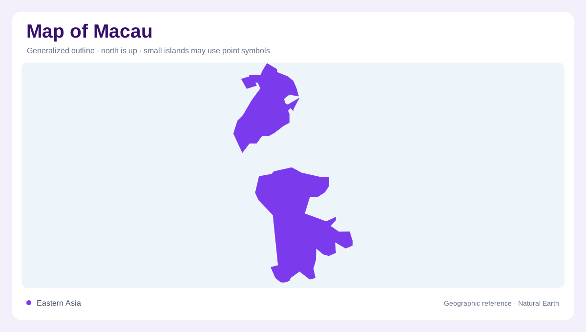
Macau lies at the mouth of the Pearl River Delta on the southern coast of China, bordering Guangdong and facing a broad maritime setting. The Macao government’s fact sheet places it about sixty kilometres from Hong Kong and gives its location on the delta’s western side. A regional map is essential because the territory is small but sits within a much larger estuary, where mainland shorelines, islands and reclaimed edges create a crowded pattern. Begin with the delta and neighbouring Zhuhai, then zoom in to understand which lines represent natural coast, bridges, channels or newly formed land.
The peninsula as the historic core
The Macao Peninsula is the northern component of the territory and the part most easily mistaken for the whole. Its outline projects into the estuarine waters, with a dense urban surface occupying land between the mainland connection and the coast. At broad scale, the peninsula appears as one compact block; at close scale, coves, waterfront edges and reclaimed projections complicate that impression. The government fact sheet lists the peninsula separately from Taipa and Coloane, a distinction worth preserving on any map. It prevents a generalized urban footprint from erasing the territory’s underlying island and shoreline arrangement.
Taipa, Coloane and Cotai
South of the peninsula are the islands of Taipa and Coloane, separated from the northern core by water and connected to one another through the Cotai Reclamation Area. Cotai should be mapped as a distinct landform produced by reclamation, not as a natural island. Older island names persist after reclamation, so Taipa and Coloane describe the geography beneath the joined landmass surrounding Cotai. The government source also identifies New Urban Zone areas and the artificial island associated with the Hong Kong–Zhuhai–Macao Bridge border crossing. These additions make the coastline a record of changing land formation. On a detailed map, labels for Taipa and Coloane remain more informative than a single undifferentiated “Macau” polygon.
Bridges and water gaps
Four bridges named by the Macao government link the peninsula to Taipa: the Nobre de Carvalho Bridge, Friendship Bridge, Sai Van Bridge and Macao Bridge. Their alignments show how water gaps organize the territory without turning the separate components into one natural landmass. Coloane’s relation to Taipa is different because the Cotai reclamation joins the two islands across a former water space. A map should therefore distinguish bridges, filled ground and remaining channels. At regional scale, these connections sit within Pearl River estuary waters; at local scale, each structure clarifies the direction and width of the intervening marine spaces.
Subtropical weather on an urban coast
Macau’s climate reflects its position between the Asian mainland to the north and tropical sea to the south. The official fact sheet describes cooler, drier winter conditions associated with continental high pressure and hot, wet summers influenced by oceanic weather systems. Typhoons are most frequent during the May-to-November season, with the peak from July through September. These facts matter to map interpretation because exposed coast, sheltered inner water and reclaimed shoreline do not have identical geographic settings. A physical map should be read alongside climate, keeping the peninsula, islands, artificial land and estuary visibly separate.