The great island east of Mozambique
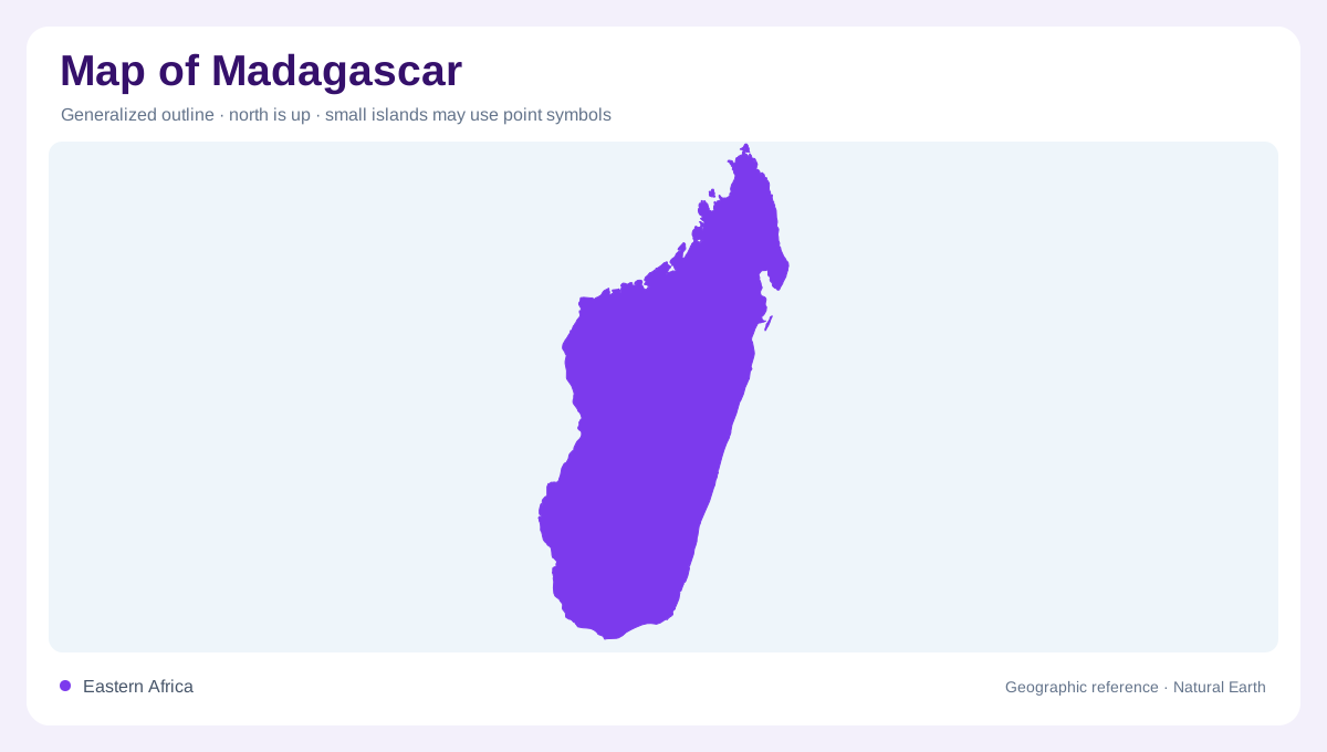
Madagascar is a large island in the Indian Ocean, separated from mainland Africa by the Mozambique Channel. Its outline is long enough to contain major changes in terrain and climate from north to south. The main island should be distinguished from offshore components such as Nosy Be in the northwest; an island map that compresses these into a single shape loses important maritime relationships. Antsiranana, Toamasina, Mahajanga and Toliary provide useful coastal reference points, while Antananarivo sits inland on the central highlands. Regional context explains Madagascar’s isolation; a closer view explains its internal contrasts.
Highlands and the eastern descent
Madagascar’s interior highlands create a strong east–west asymmetry, separating low coastal environments through an elevated spine with deeply cut slopes. The central plateau acts as a climatic threshold and watershed, not merely a summit in the island’s profile. It separates contrasting settlement landscapes from north to south and gives the interior coherence on regional maps. The Angavo and Betsimisaraka escarpments mark successive parts of the eastern descent, where elevated ground drops abruptly toward the Indian Ocean and coastal lowlands. These are not isolated mountain dots: they form a broad interior source area from which lower landscapes spread toward both coasts. West of the heights, the Boeny and Menabe sedimentary basins slope gently toward the Mozambique Channel. Eastward, the drop is sharper and the coastal strip is narrower.
Rivers, lakes and the Pangalanes
Madagascar’s central relief divides drainage between the Indian Ocean and the Mozambique Channel. Eastern rivers are often short and energetic, while western rivers travel more slowly across broad basins. The AQUASTAT profile lists major natural lakes including Alaotra in the east, Itasy near the centre, and Kinkony, Ihotry and Tsimanampetsotsa in the west. Along the eastern coast, lagoons are connected by canals over more than six hundred kilometres in the Pangalanes system. On a water map, these lakes, rivers and canals reveal how the highlands distribute water into sharply different coastal environments.
Coasts, lagoons and offshore islands
The eastern shore presents a narrow coastal band interrupted by elongated lagoons and outlets, whereas the western coast opens toward the Mozambique Channel and the southern landscape becomes drier. Northern headlands and islands add a layer of coastal geometry. Nosy Be, named in the AQUASTAT climate discussion, should remain visibly separate from the mainland rather than being treated as a coastal district. Mangrove areas and inland waters also interrupt any beach-colored outline. A map can therefore distinguish open sea, lagoon, coral-fringed coast, mangrove, river mouth and island, each carrying different geographic meaning.
Climate changes across the outline
Madagascar’s climate follows the relief and the changing exposure of its coasts. The northeast and east are humid, the central highlands have an elevated tropical climate, western areas are drier, and the far south is semi-arid. Rainfall is generally higher on the windward east and declines toward the southwest, where rivers can be temporary. This pattern gives a map a directional logic: lush eastern slopes, open western basins and dry southern country are connected by the central divide. Reading climate, contour and drainage together prevents the island from being reduced to one uniform tropical landscape.