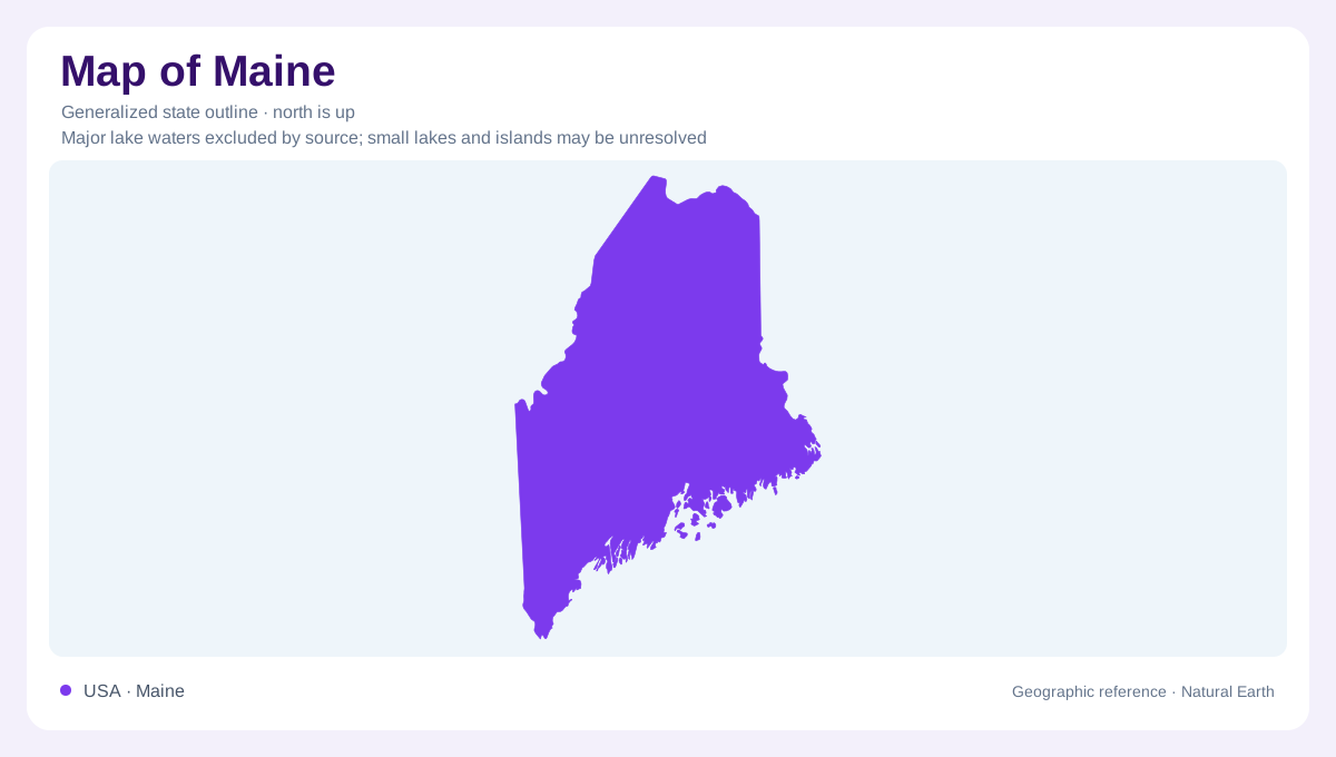
Atlantic exposure and a forested interior
Maine occupies the northeastern Atlantic margin of the United States, with an extensive forested interior behind its irregular coast. Ocean exposure moderates coastal conditions, while northern and inland districts experience colder winters. The contrast is not merely between land and sea: mountains, valleys and lakes introduce further differences within the interior. A state outline offers the coastal framework but cannot explain why so many inland water bodies occupy the landscape. For that, Maine's glacial history is essential. Ice reshaped an older bedrock foundation, redirected drainage and left sediments whose distribution still influences the geography above them.
Mountains bear different kinds of ice marks
Continental ice sheets crossed Maine's mountains and valleys, scraping bedrock and carrying debris. Smaller alpine glaciers also left identifiable basins high on Katahdin and in the Sugarloaf mountain group. These bowl-like cirques differ from the broader smoothing and scouring associated with continental ice. Katahdin's eastern basins are a particularly clear example. The distinction helps prevent every hollow from being interpreted as the same feature. Some depressions were excavated in rock, while others formed among deposited sediments. Reading a mountain landscape requires recognizing both removal and accumulation, processes that can leave contrasting shapes beside one another within the same valley.
Lakes and ridges record retreat
As ice withdrew, meltwater sorted sand and gravel while the glacier itself released mixed material called till. Some streams flowed through tunnels within the ice, leaving winding gravel ridges known as eskers after the surrounding glacier vanished. Eskers preserve former meltwater routes as raised features rather than channels. Other sediment accumulated in ridges at the ice margin or in temporary lakes. At Acadia, Jordan Pond lies behind a moraine, linking a familiar water body directly to glacial deposition. Maine's lakes therefore do not share one simple origin. Rock basins, sediment barriers and reorganized drainage all contribute to their arrangement, and the state outline leaves these inland connections unexplained.
The sea once reached farther inland
The weight of the ice depressed Maine's crust. During retreat, seawater spread over southern lowlands and far into the Kennebec and Penobscot valleys, even though global sea level was lower than today. Sediment entered that sea from the melting glacier: coarser material built deltas and fans, while finer silt and clay settled farther away. Later uplift changed the relative position of land and sea again. This history explains why marine deposits can occur inland above the modern shoreline. Present elevation alone is therefore insufficient for deciding whether a particular lowland sediment originally accumulated in freshwater or in the ocean.
Rivers and forests cover an older framework
After deglaciation, river networks developed, wetlands accumulated organic material and forests replaced colder-climate vegetation. Wind also moved exposed sand from valleys onto neighboring ground, leaving dune deposits in places such as the Androscoggin and Saco valleys. These inland sandy areas have a different setting from modern ocean beaches. Rivers continue to erode and redeposit older material, so Maine's surface is still changing beneath its forest cover. Connecting coast and interior means recognizing this sequence: ancient bedrock, glacial reshaping, temporary marine flooding and later drainage. Each explains features that would otherwise seem disconnected across the state's wooded, lake-studded landscape.