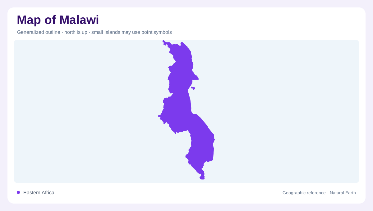
A long country beside a great lake
Malawi is a narrow, landlocked country in southeastern Africa, bordered by Tanzania, Mozambique and Zambia. The FAO profile describes an outline about 900 kilometres long and up to roughly 250 kilometres wide, with surface water occupying a substantial share of the national area. Lake Malawi dominates the eastern side and gives the country a distinctive north–south orientation. A regional map places Malawi within the wider Zambezi setting; a national map shows how the lake, escarpments and plains organize its internal geography. Its elongated shape should be read as a sequence of connected zones rather than a simple strip.
Four physical zones
Malawi’s terrain is commonly divided into four major physiographic zones: the southern highlands of Mulanje, Zomba and Dedza; the central and northern plateau; the Rift Valley escarpment; and the Rift Valley plains along Lake Malawi and the Upper and Lower Shire valleys. This framework explains the country’s abrupt changes in elevation. Highlands rise above lower lake and river margins, while plateau surfaces occupy much of the interior. On a relief map, the escarpment is the hinge between these settings, not merely a line separating colored regions. Contours make that structural relationship visible.
Lake Malawi and the Shire
Lake Malawi is the central water feature, stretching along much of the eastern border and forming part of the Zambezi drainage system. Because the lake is both a border feature and a drainage reservoir, east-facing and southward relationships must be read together when all Malawi is mapped. The Shire River is its only outlet, leaving the lake and flowing south through the Lower Shire Valley. Lake Malombe lies along this connected system, while the plains beside the river form a separate lowland from the lakeshore plateau. A map should show the lake as more than a blue border: its length, bays and outlet explain the alignment of settlements, wetlands and river corridors. Following the Shire south reveals how inland water reaches the regional basin.
Chilwa, Chiuta and marsh country
Eastern and southern Malawi contain water bodies that do not simply drain through the Shire. Lake Chilwa is an endorheic basin receiving rivers from the Shire Highlands, Zomba Plateau and Mulanje Massif; its shallow surface varies, so its outline should not be read as permanently fixed. Lake Chiuta lies farther north near the Mozambique boundary and is separated from Chilwa by a sand bar. Wetlands such as the Elephant and Ndindi marshes in the Lower Shire, Vwaza Marsh and Chia Lagoon add seasonal complexity. These features make water regime as important as coastline.
Plateaus, seasons and map scale
The plateau regions provide broad interior surfaces between the lake and highland margins, while towns such as Lilongwe, Mzuzu, Zomba and Blantyre serve as useful orientation points on a settlement map. Elevation affects rainfall and temperature: the FAO profile records wetter highlands and drier low-lying Lower Shire areas, with a rainy season broadly from November to April and a dry season from May to October. These seasonal contrasts help explain shifting wetland symbols and river fullness. Use a regional view for basin connections, then switch to contours and drainage when reading local relief.