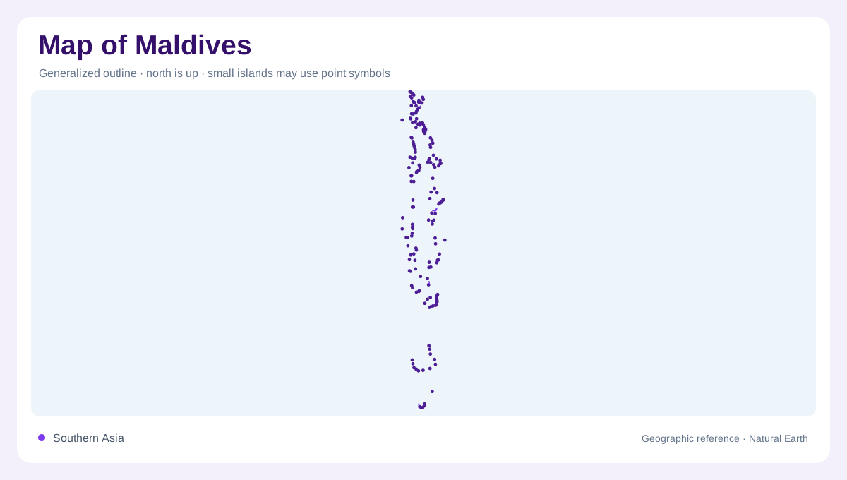
A chain rather than a single landmass
On a map, the Maldives is a long north–south scatter in the Indian Ocean, southwest of Sri Lanka, not a compact island block. The official geographic profile describes about 1,190 low-lying islands extending roughly 1,000 kilometres and arranged into 26 natural atolls. Atoll names identify reef groups, distinct from the individual islands distributed around their lagoons. Most islands are tiny, and their elevations generally do not exceed two metres above sea level overall. That combination of length, ocean space and minimal relief makes an overview map essential before interpreting any individual island. Because the country has very little high ground, distances on a map are mostly horizontal and maritime. Latitude also helps explain why a north–south overview is more informative than a single enlarged island plan: the atoll sequence is the country’s primary spatial structure. Their low profile makes a coastline symbol more informative than a contour line on almost every inhabited island.
Rim islands, lagoons and passages
Each atoll is better read as a rim than as one solid island. Main islands sit around shallow lagoons, where sandbars and small cays interrupt the water; deeper passages separate neighbouring atolls. A detailed chart therefore shows many more coastal edges than a political outline suggests. The central lagoon and outer rim also explain why nearby place names can be separated by open water even when they appear close on a national map. Zooming out reveals the repeated reef geometry; zooming in distinguishes inhabited ground, uninhabited islets, sandbars and deep passages.
Water without rivers
There are no permanent rivers or streams. Instead, some islands contain small brackish ponds or freshwater lakes called kulhis, while rainwater gathers in household and community tanks. Beneath the sand and coral, freshwater lenses float above saline water and are replenished by rainfall. Over-pumping or pollution can make these lenses unusable, with saltwater intrusion especially important on crowded islands. On a map, a lagoon, a pond and a groundwater symbol represent different systems; none should be read as a continuous river network linking the atolls.
Monsoons across the chain
The climate is tropical and governed by two monsoons: the southwest monsoon generally spans May to September, and the northeast monsoon November to March. Thunderstorms are common around April and October, while January through March is comparatively dry. Because the islands stretch across a long ocean corridor, a regional map should preserve latitude and atoll order rather than compressing everything into a single resort-style diagram. Seasonal rain supports vegetation and groundwater recharge, but the nearly flat terrain leaves little elevation to separate water from salt.
Reading inhabited and empty islands
Malé provides a concentrated urban reference within the chain; elsewhere, scattered settlements occupy reef islands separated by lagoons, reef passages and ocean channels. That contrast matters when reading symbols: a blank-looking atoll is not necessarily landless, and a dense mark may represent a very small island. Use the atoll name, reef ring and island name together to establish position. The southern and northern ends are linked by the same chain, but their distances are oceanic, so a route imagined from a mainland map can be misleading.