A broad inland transition
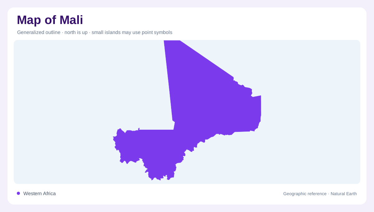
Mali occupies a broad, landlocked sweep of West Africa, widening from wetter southern landscapes toward the Sahara. Its physical map combines southern and western plateaus, sandy plains, the central alluvial basin of the Inner Niger Delta, and the Adrar des Iforas near Algeria. The Mandingue Plateau stands about 300 to 400 metres above sea level, while the Adrar des Iforas reaches roughly 890 metres. These uplands are not one continuous mountain wall; they punctuate an otherwise extensive low-relief country.
Rainfall bands from south to north
Rainfall declines markedly from south to north, producing a sequence of ecological bands rather than a simple desert boundary. The far south is subhumid, with wooded savanna and more than 1,200 millimetres of annual rain in the cited profile. The Sudanian belt grades into Sahelian country, where annual totals fall through roughly 600–1,200 and 200–600 millimetres. Farther north, Saharan steppe receives less than 200 millimetres. A map should treat the Inner Niger Delta as a seasonal agro-ecological zone within this gradient, not as a permanent lake.
The Niger and its inland delta
The Niger is the dominant organizing river. About 1,700 kilometres of its 4,200-kilometre course lie in Mali, and the Bani, Sankarani and Baoulé join its drainage. Flood pulses spread across the Inner Delta, filling channels, lakes and floodplains before water contracts again. This shifting pattern explains why the delta appears as a broad wetland mosaic rather than a single blue line. Following the Niger beyond Mali also reveals its regional basin, which continues through several neighbouring countries. A map of Mali should therefore keep relief, rainfall and drainage together. The same northward change that reduces vegetation also changes how far apart dependable water features appear. In the south, tributaries can be close and branching; in the north, broad empty intervals dominate the frame. This contrast is a geographic pattern, not missing cartographic detail. Seasonal floodwater can make the same channel appear open in one season and fragmented in another, so static maps should be read as landform diagrams rather than live water reports. This seasonal movement defines the geography shown by the delta.
Senegal and Volta watersheds
Western and southern watersheds extend Mali beyond the Niger basin. The Senegal system is built chiefly from the Bafing, Bakoye and Falémé, while the Sourou belongs to the Volta basin. One river name can mislead: the Baoulé associated with the Senegal system is distinct from the Baoulé tributary listed for the Niger. On a drainage map, these distinctions matter more than national outlines because water divides cross borders and connect Malian terrain to Atlantic-flowing systems.
Where water and people concentrate
Settlement and cultivation follow water and rainfall unevenly. Bamako lies on the Niger in the south-western part of the country, while the delta and southern river corridors support denser human and agricultural patterns than the desert north. Seasonal ponds, flood-recession fields and pasture occupy different positions on the same floodplain. At national scale, Mali looks like a north–south transition; at local scale, channels, levees, depressions and plateau margins explain where movement and land use concentrate. Reading both scales prevents the Sahara from eclipsing the wetter southern geography.