A country made mostly of ocean
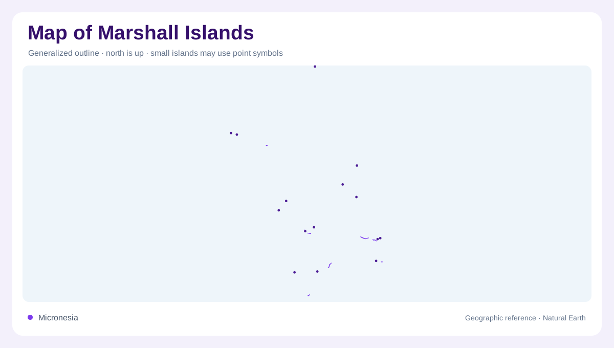
The Marshall Islands are a dispersed central Pacific country whose geography is mostly ocean. The embassy’s country profile describes 29 coral atolls and five low-lying islands between 4° and 14° north and 160° and 173° east. They form two almost parallel chains: Ratak, the Sunrise group, and Ralik, the Sunset group. Their approximate 1,225 islands and islets occupy a far larger sea area than their combined land area, so an ordinary country outline can seriously understate the distances involved. The embassy also gives the country’s total land area as about 181 square kilometres, a figure that becomes meaningful only when paired with the much larger sea area. Longitude and latitude are not decorative metadata here; they show why two atolls can belong to one country while remaining far apart. Within each chain, atoll names are better anchors than a single national centre. The map should preserve their sequence from north to south and keep the reef rings visible. The chain order also matters because the country’s geography is organized by parallel atoll strings rather than a continental interior, with no connecting mainland corridor between them on the map at this scale.
Atoll rings and reef islets
An atoll is a ring of coral islets enclosing a lagoon, not a single broad island. Individual islets may be separated by narrow channels and aligned along a reef rim, while the lagoon occupies most of the visible ring. The embassy describes the terrain as low coral limestone and sand, with a mean land height of about two metres. On a map, a thin necklace of land around blue water is therefore a physical structure, not a cartographic gap.
Majuro, Kwajalein and named atolls
Majuro Atoll is the capital area and a useful reference point in the Ratak chain; Kwajalein is another prominent atoll in the western part of the country. Bikini and Enewetak are separate atolls whose modern map labels carry historical as well as physical meaning, while Likiep contains the country’s highest point in the embassy profile, at about ten metres. These names should remain attached to their own atoll outlines rather than being treated as districts on one continuous island.
Climate without mountain relief
Trade winds moderate a hot, humid tropical climate, and the embassy notes a wetter southern pattern compared with the drier northern atolls. Rainfall, salt exposure and the small size of islets shape freshwater availability more than surface relief does. There are no mountain ranges or long rivers to organize the map. Lagoon openings, reef arcs, islet clusters and the orientation of the two chains provide the principal geographic grid.
Scale is the essential map lesson
At national scale, leave generous ocean space around every atoll and use an inset for the central Pacific setting between Hawaii and Australia. At local scale, distinguish reef, lagoon, islet and channel; a long narrow inhabited strip can be only one part of a much larger atoll. The embassy’s profile lists a total land area of about 181 square kilometres, but that figure should never be mistaken for the country’s marine extent. The map is fundamentally an archipelago of low coral fragments.