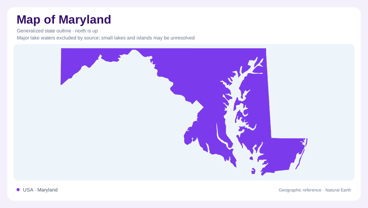
A small state with a long cross section
Maryland spans an unusually varied geographic sequence from the Atlantic coast to the Appalachian highlands. Chesapeake Bay divides its eastern portion, while the western extension reaches much farther inland through successive belts of different terrain. Its outline is consequently a poor guide to environmental uniformity: a narrow stretch of land may cross several substantial changes in bedrock and relief. The bay also places opposite shores near one another across water without making them a continuous land surface. Coastal position and westward distance provide useful starting references, but the state's internal geography depends on more than those two measurements.
Sediments around the eastern shores
The Atlantic Coastal Plain consists largely of gravel, sand, silt and clay overlying older rock. These deposits thicken toward the ocean, so a low surface can conceal a considerable sedimentary sequence continuing offshore beneath the Atlantic continental shelf. Southern Maryland and the Eastern Shore contain progressively younger exposed formations toward the southeast. Groundwater occupies aquifers within this layered material, while Chesapeake Bay receives water from a watershed extending far outside the state. Shoreline geography therefore combines local sediments with a much larger drainage system. The state's boundary encloses only part of the landscape influencing the bay, making regional watershed context important even for a Maryland-focused reading.
The Fall Zone and Piedmont
At the inland edge of the Coastal Plain, the Fall Zone marks its contact with harder Piedmont rocks. The Piedmont extends westward toward Catoctin Mountain and contains a varied mixture of igneous and metamorphic material. Different resistance to erosion produces differences in local relief. The comparatively open Frederick Valley, developed on limestone and dolomite, interrupts any assumption that this entire belt is uniformly rugged. Describing the Piedmont as simply higher coastal country would therefore miss its distinct rock foundation. A geologic cross section would explain the buried contact and changing materials more directly than a boundary outline could.
Ridges enclosing contrasting valleys
Catoctin Mountain and South Mountain frame Maryland's Blue Ridge province, where resistant quartzite helps maintain prominent ridges. Farther west, the Ridge and Valley province includes both the broad Hagerstown Valley and more rugged country. Limestone and dolomite underlie that open valley, while shale and sandstone shape many western ridges and hollows. The arrangement has a directional character: elongated high and low areas replace the less orderly patterns of much of the Piedmont. Yet a province name is not a promise of identical terrain throughout it. Broad valley floors and sharply dissected slopes coexist within the same regional belt.
The plateau at Maryland's western end
Beyond Dans Mountain, the Appalachian Plateaus include western Allegany County and all of Garrett County. Gently folded sedimentary rocks distinguish this region from the stronger folding farther east, although a plateau need not have a smooth surface. The western highlands also experience greater seasonal temperature contrasts than eastern districts moderated by Chesapeake Bay and the Atlantic. This joins climate to relief without reducing either to latitude alone. Read across Maryland, the significant transitions are from coastal sediment to crystalline upland, then through ridges and valleys into plateau country. Each contributes a separate part of the state's compact but diverse geography.