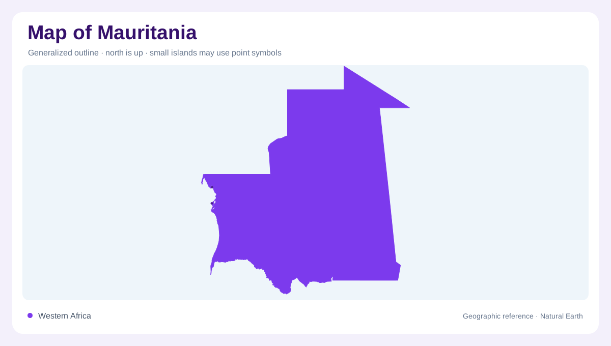
Atlantic edge of the Sahara
Mauritania occupies the north-western edge of Africa, with the Atlantic Ocean on its western side and a coastline stretching about 600 kilometres. The country extends from a Saharan north into a Sahelian belt across the south. Most of the interior is formed by dune alignments and sandy plains, but the Adrar and Tagant massifs interrupt that surface. Those uplands generally rise between 400 and 800 metres, while the southern Chemama is an alluvial plain along the Senegal River. On a continental map, the coast is a narrow western edge, while the landmass expands inland toward Algeria and Mali; this helps explain why coastal and interior scales feel different.
A sharp rainfall gradient
Rainfall decreases sharply toward the north. The climate is Saharan in the upper country and Sahelian farther south, with a short, irregular rainy season usually falling between June and September. Much of Mauritania receives less than 300 millimetres annually, while the Guidimakha region in the far south can receive considerably more. This gradient explains the map’s changing cover: bare or sparsely vegetated desert northward, seasonal pasture and cultivation farther south, and no single climate zone across the national outline. Rainfall maps should be read as gradients, with isohyets bending across dunes, plateaus and riverine lowlands rather than tracing administrative divisions.
The Senegal River corridor
The Senegal River is the principal surface-water feature and forms the boundary with Senegal in the source profile. Its valley contrasts strongly with the surrounding dunes and supports floodplain environments known as the Chemama. Tributary channels, low basins and seasonal inundation are more important here than permanent inland lakes. On a drainage map, the river is not merely a southern edge; it is the linear corridor that links Mauritania’s agriculture, wetlands and cross-border watershed to the wider Senegal basin. The river’s southward position is also a scale cue: it links a narrow cultivated belt to a watershed extending far beyond Mauritania’s southern edge.
Massifs, oases and dry basins
Central and northern relief should be read as separate massifs rather than one mountain chain. Adrar includes broad desert plateaus and valleys where oasis agriculture is possible, while Tagant rises farther south-east amid dry steppe. The profile also identifies oasis irrigation in Adrar, Tagant, Assaba and the Hodhs. These pockets of cultivated ground are geographic islands within arid terrain, so a land-use map can look surprisingly granular even where a physical map appears almost uniformly sandy. Map readers should treat oasis agriculture as a local water signal, not evidence that Mauritania has a generally moist climate beyond those pockets across the whole country.
Compartments within a broad outline
At national scale, Mauritania’s Atlantic frontage, Saharan interior and Senegal valley establish the main axes. At local scale, dunes, escarpments, wadis and irrigated pockets explain why settlement does not spread evenly across the country. The broad outline can tempt a reader to imagine continuous desert, yet the southern river plain and scattered mountain oases create distinct geographic compartments. Dune fields, rocky massifs and the river plain should retain distinct textures, because their different relationships with rain, groundwater and seasonal flooding explain the distribution of cultivated land.