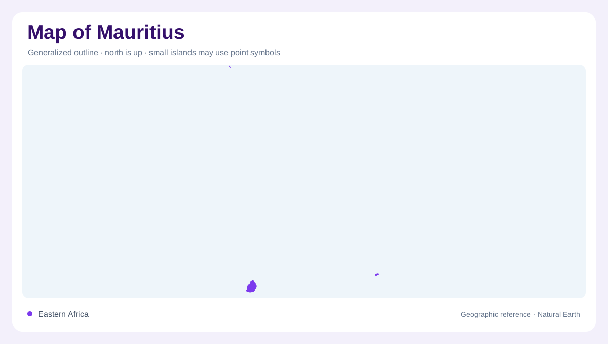
A country of separated island components
Mauritius is an Indian Ocean island country east of Madagascar, but its map contains more than the familiar main island. Rodrigues and Agalega are separate components, while Saint Brandon consists of low reef islets rather than another large volcanic island. These places require generous ocean space or separate insets to show their relationships accurately. Mauritius island itself contains the central plateau and radial drainage that dominate the familiar national image. The smaller components should not inherit its contours or terrain colours automatically. An archipelago map brings together distinct landforms, and the ocean gaps separating them remain essential parts of that wider geographic arrangement.
Volcanic relief around a central plateau
Main-island relief is volcanic and strongly organized around a central plateau. Coastal plains extend especially across the north and east, while the southern and south-eastern edges descend through steep, rugged escarpments. Coral reefs surround the island, and weathered basalt produces the dominant soil family. On a physical map, the plateau, escarpments, coastal lowlands and reef belt are more informative than a simple land-sea outline because they explain the island’s changing elevation and shore form. The reef belt is a coastal structure rather than an extension of the plateau, so lowland, escarpment and offshore reef should appear as separate bands.
Rivers radiating from high ground
Watercourses radiate from the central high ground. The profile identifies 25 major river basins, with the Grand River South East and Grand River North West among the largest, and notes that most rivers are perennial. Reservoirs add visible reference points: Mare aux Vacoas, La Ferme, Mare Longue, La Nicolière and Piton du Milieu are listed among the main storage sites, while Midlands Dam is a major impounding structure. These features make the plateau a hydrologic as well as topographic centre. River basin names also reveal how the island’s relief divides water, with separate catchments reaching different coastal sectors and reservoirs interrupting their natural paths.
Rainfall, reefs and water stores
Rainfall is uneven across the main island. The north and west are drier than the central plateau, while the maritime climate has a warmer summer season and a cooler winter season. That pattern helps explain why irrigated and cultivated landscapes can vary over short distances. A map should separate perennial rivers, reservoirs, aquifers and the surrounding reef lagoon rather than using one blue symbol for all water. Most importantly, water flows outward from elevated interior basins toward the coast. Rain-shadow interpretation is especially useful when comparing coastal belts with the wet plateau, where the same island includes different agricultural and vegetation signatures. This contrast follows relief, rainfall and coastal exposure.
Saint Brandon and the outer islands
Saint Brandon, also called Cargados Carajos, lies approximately 450 kilometres north-northeast of Mauritius. The Outer Islands Development Corporation describes a cluster of reefs and islets with a crescent-shaped main reef. Many islets are sandy cays whose shapes can change under waves and cyclones. Albatross, Île du Nord and Île Raphaël provide named reference points within this small-scale reef geography. The contrast with Mauritius's volcanic plateau is fundamental: a low cay, a reef crest and an upland river basin cannot share the same physical interpretation.