An island pair in the Mozambique Channel
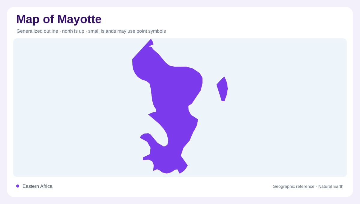
Mayotte sits at the northern end of the Mozambique Channel, within the Comoros archipelago, northwest of Madagascar. It is an island territory whose map should be read as a pair of main islands rather than one continuous shore. Grande-Terre is the larger, mountainous island; Petite-Terre lies a short distance to its east and contains Dzaoudzi and Pamandzi. Numerous smaller islets and reef flats occupy the surrounding lagoon. Offshore boundaries make the territory appear larger than its land area, while the island pair gives the settlement pattern a clear maritime axis. A regional map helps place Mayotte within the western Indian Ocean. The paired islands give the lagoon two distinct reference shores.
Volcanic islands with contrasting relief
Grande-Terre has an old volcanic framework, with ridges, steep ravines and dissected slopes descending toward coves and estuaries. Elevation is concentrated across the island's interior, so a coastal outline alone hides the relief that controls drainage. Petite-Terre is smaller and more compact, with volcanic hills and low coastal margins around its inhabited districts. The two islands are separated by a channel about 2.6 kilometers wide, a gap that matters when interpreting any map showing transport lines or settlement clusters. Do not merge their symbols: the airport area on Petite-Terre and Mamoudzou on Grande-Terre occupy distinct landforms.
A lagoon organized by two reef barriers
Mayotte's defining physical feature is its lagoon. Official marine-park material describes a double barrier reef, with nearly 200 kilometers of coral reef and an outer rim separated from the islands by shallow and deeper water. A biodiversity account gives the lagoon about 1,100 square kilometers, marine space surrounding both principal islands, and notes submarine canyons and valleys reaching much greater depths. On a chart, reef arcs are not extra islands. Passes cut through them, while channels and reef flats create a broken pattern around Grande-Terre, Petite-Terre and offshore islets. Bathymetry explains why the coastline looks simple but the sea map is complex.
Mangroves, seagrass and nesting beaches
Coastal habitats sharpen the island's geographic contrasts. Mangroves border about 30 percent of Mayotte's shoreline, forming muddy, tidal margins beside bays and river mouths; the marine park records seven mangrove tree species and about 725 hectares of mangrove. Seagrass meadows cover an estimated 760 hectares, often occupying sheltered shallows between land and reef. Beaches vary from dark volcanic sand to pale carbonate sand, and many serve as nesting beaches for marine turtles. These features should be read as connected zones: upland runoff reaches mangroves, mangroves shelter lagoon edges, and reefs stand farther seaward.
Reading settlements against the water
Place names become more intelligible when the islands are separated by scale. Mamoudzou faces the lagoon on Grande-Terre, while Dzaoudzi and Pamandzi occupy Petite-Terre near the airport and the eastern side of the inter-island channel. Longoni marks a deep-water bay on the north of Grande-Terre, close to the Mtsamboro pass. The marine park extends far beyond the visible shore into territorial waters and the surrounding exclusive economic zone. A useful map therefore layers island relief, lagoon openings, mangrove margins and offshore reefs. Together they show Mayotte as a volcanic island pair enclosed by an unusually structured tropical sea.