A mainland shaped by two peninsulas
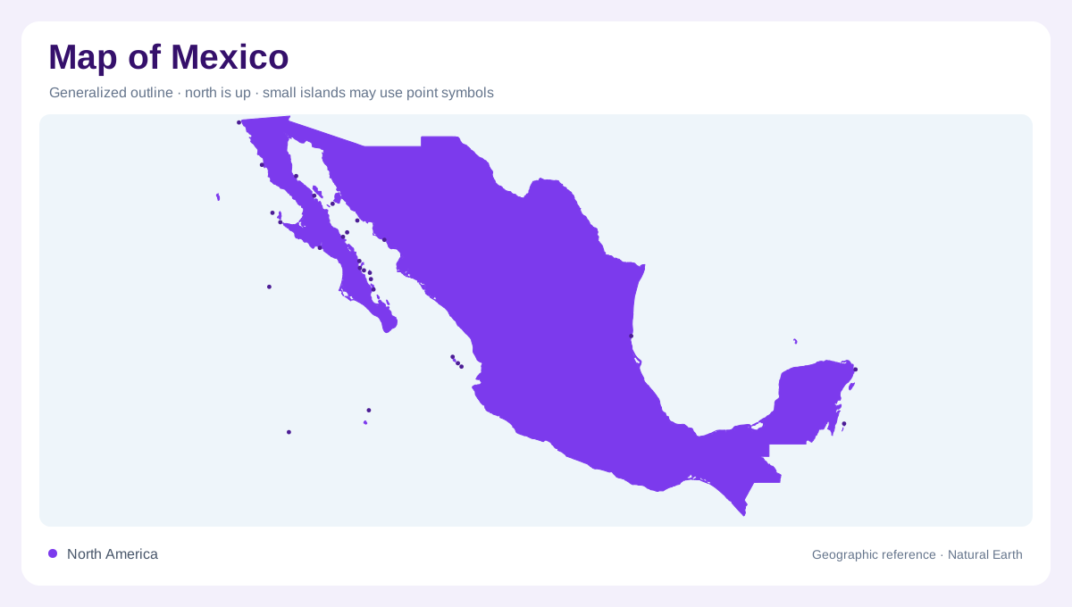
Mexico occupies the hinge between North America and Central America, with the United States to the north and Guatemala and Belize to the southeast. The Pacific Ocean, Gulf of Mexico and Caribbean Sea shape three very different maritime edges. Two peninsulas make the outline especially legible: arid Baja California lies northwest, while broad, low Yucatán occupies the southeast. The Isthmus of Tehuantepec narrows the mainland before the country continues into the highlands of Chiapas. A national map therefore needs regional framing; otherwise the long coastlines and peninsular extensions can obscure the interior relief connecting them. The southern isthmus changes how mainland width appears on regional maps.
The elevated Mexican Plateau
Mexico's central organizing landform is the Mexican Plateau, generally above 500 meters. The Sierra Madre Occidental borders it on the west and the Sierra Madre Oriental on the east, while the Trans-Mexican Volcanic Belt crosses its southern margin. The central plateau rises roughly between 2,000 and 3,000 meters and is wetter and more level than the northern plateau. This mountain architecture is more than scenery: it separates coastal margins from interior basins and helps explain why nearby places can have sharply different climates. Contours and shaded relief reveal the plateau as a connected elevated core rather than a single mountain chain.
Coastal plains and southern highlands
Coastal plains occupy the spaces outside the main ranges, but they are not symmetrical. The Gulf plain runs from the northern frontier toward the Yucatán Peninsula, broadening in the east. Along the Pacific, the plain is generally narrower and more broken, with mountain fronts approaching the shoreline in some districts and retreating inland in others. Baja California is an especially dry peninsula, while the Yucatán lowland remains mostly below 300 meters. South of Tehuantepec, the Chiapas highlands continue the mountain systems of Central America. These transitions make coastal distance a poor substitute for actual elevation when reading a country-scale map.
Rivers crossing national edges
Water leaves Mexico through many named rivers and several continental directions. On the Pacific side, the Balsas, Santiago, Verde, Fuerte and Yaqui systems cross distinct western catchments. The Gulf side includes the Bravo or Grande, Pánuco, Grijalva and Usumacinta, while the Tehuantepec and Suchiate drain toward southern coasts. The national pattern is uneven: the FAO profile reports that about half of surface runoff is generated in the southeast, although that region covers only about one-fifth of the territory. Basin boundaries therefore cut across state lines and continue beyond Mexico's borders into the United States, Guatemala and Belize.
Climate follows relief and exposure
Climate symbols should be interpreted alongside latitude, altitude and exposure. Northern Mexico is predominantly dry, whereas the southeast and the Gulf-facing slopes receive more moisture; the Pacific and Gulf seas moderate temperatures near the margins. Rainfall is concentrated mainly from June through October, and the profile notes frequent drought periods in the north. Urban labels can crowd the plateau and coastal plains, yet the physical map remains clearest when peninsulas, mountain fronts, river basins and sea-facing slopes are read in sequence. That sequence explains Mexico's geographic variety without reducing it to a simple north-south climate divide.