A federation scattered across ocean
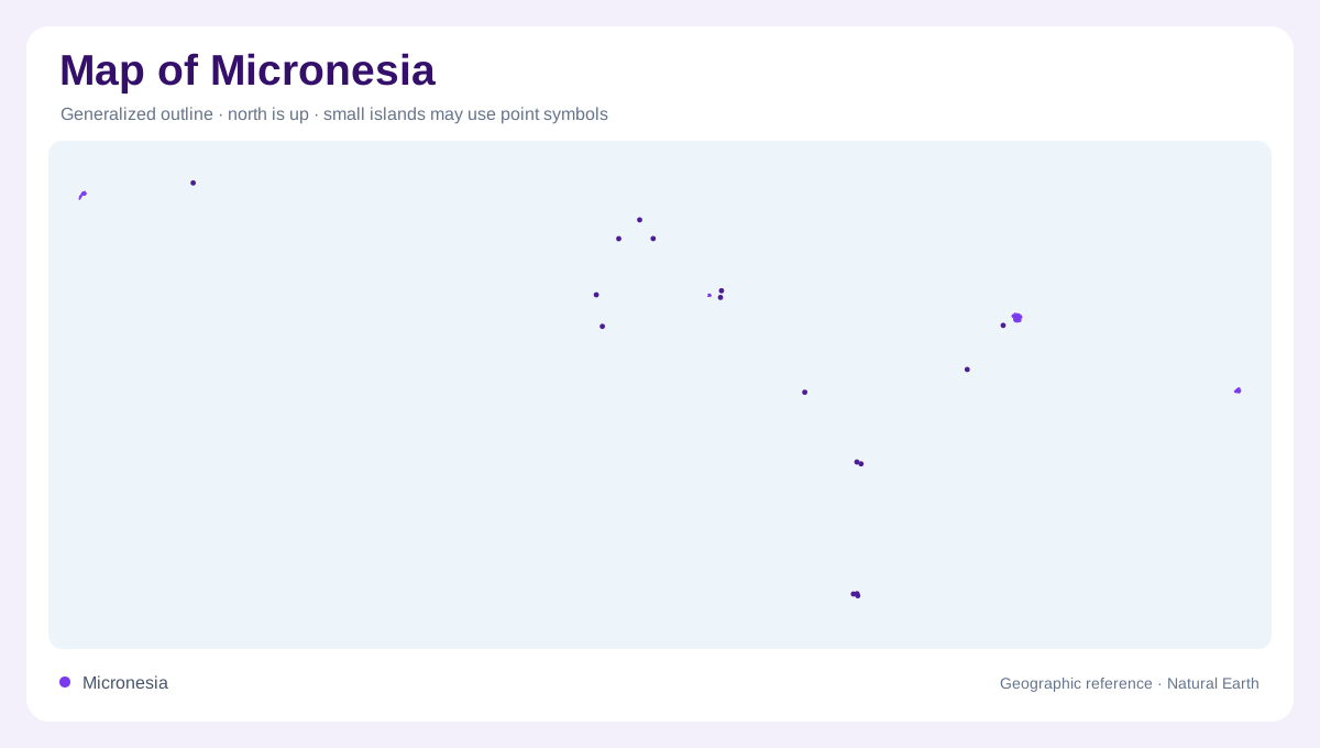
The Federated States of Micronesia is a scattered Pacific nation, not a single island. Its islands and atolls lie in the northwestern Pacific, within the broad Caroline Islands archipelago north of the equator. The embassy describes more than 600 islands and atolls, less than 500 square miles of land, and an ocean area exceeding one million square miles. Four states form a west-to-east sequence: Yap, Chuuk, Pohnpei and Kosrae. That sequence is the essential map key. Distances between state groups are oceanic, so a national overview and an island-scale chart answer very different geographic questions. Water separates every state.
Yap at the western end
Yap anchors the western end of the federation. Its principal island landscape combines low coastal margins, mangrove areas, reef channels and inland hills, while the state identity also includes a widely dispersed maritime setting. The official state guide emphasizes fishing, sailing, village shorelines and marine life rather than a continuous continental interior. On a map, Yap should therefore be read as an island-and-reef environment whose surrounding water occupies most of the state picture. Coastal channels and reef edges explain why a simple outline of the main island leaves out much of the geography that links communities to the sea.
Chuuk's central lagoon
Chuuk occupies the central part of the chain and is organized around a huge atoll. An outer barrier reef encloses a broad lagoon, while high islands rise from its central waters. The state tourism portal describes shallow lagoon settings, reef passes, mangroves and rugged inner-island terrain; it also records more than eighty wartime wrecks within and around the reef. Those wrecks are historical map markers, not separate landforms. At regional scale, the barrier gives Chuuk a nearly circular water pattern. At local scale, the islands, channels and reef walls require a nautical chart rather than a generalized political map.
Pohnpei's wet volcanic core
Pohnpei is the federation's largest and tallest island and hosts the national capital, Palikir. Its wet peaks feed more than forty rivers, which descend through a lush interior toward a jagged coastline fringed in many places by mangroves. Channels carry water and sediment into the lagoon, while hard-coral reefs and steep marine drop-offs mark the outer edge. Nearby Ant and Pakin atolls are separate reef systems, not coastal suburbs of Pohnpei. Nan Madol adds a human-made network of basalt structures and tidal channels on the island's shore. A map becomes clearer when high ground, river outlets, lagoon water and neighboring atolls are distinguished.
Kosrae and the eastern reefs
Kosrae forms the eastern end of the four-state sequence. It is a compact, mountainous island with Mount Finkol, jungle-fed waterfalls, tidal mangrove channels and reefs that descend beyond the nearshore platform. The state guide describes Lelu ruins and a marine setting of hard corals, walls and reef passages, but the geographic lesson is simpler: land, wetland and open ocean are tightly interwoven. Kosrae's separate location prevents the federation from being mistaken for one continuous reef. Across all four states, island symbols, atolls, channels and ocean gaps should remain distinct. The map is an archipelago first and a political outline second.