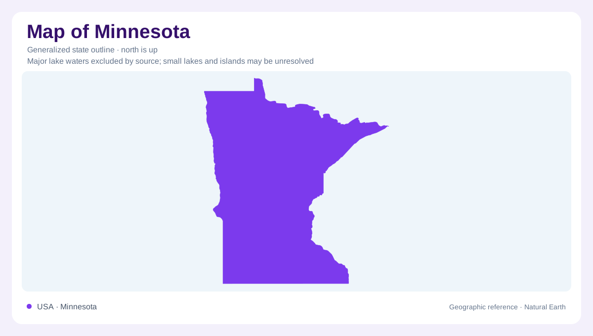
A state organized by different watersheds
Minnesota sits where several large drainage systems meet. Its northeastern edge reaches Lake Superior, while northern border waters connect with Canada and the Mississippi begins within the state. These waters do not all belong to one river network. The St. Louis River watershed occupies the head of the Great Lakes system; the Rainy River follows a separate northern course toward Lake of the Woods. Farther southwest, even the Missouri River basin reaches into Minnesota through tributary watersheds. A map outline supplies the state boundary, but understanding Minnesota's water geography means looking beyond that boundary to the destinations of its rivers.
A small beginning for the Mississippi
Lake Itasca is the source of the Mississippi River. At its beginning, the channel is modest compared with the great commercial waterway it becomes downstream. Its Minnesota course gathers water from a succession of tributaries and lake districts before reaching the Twin Cities. The Minnesota River joins it at Fort Snelling, adding drainage from the state's southwestern and central agricultural landscapes. Minneapolis and Saint Paul therefore belong within a much larger watershed story. Their river is neither isolated from the northern lake country nor independent of the land to the west. Tributary connections explain how these distant places are linked.
Ancient rock under northern lakes
At Voyageurs National Park, exposed rock reveals part of the ancient continental core. Volcanic materials were transformed by pressure, heat and deformation; later erosion and glacial ice stripped away younger material. The resulting landscape includes resistant rock ridges separated by lower areas filled with water and bogs. Northern Minnesota's intricate lakes are consequently more than decorative interruptions in the land. Their arrangement reflects the underlying rock and the work of ice. At a close scale, a narrow water passage and a nearby ridge can reveal more about this landscape than a broad label describing the entire north as lake country.
Prairie drainage and southeastern bluffs
Southern Minnesota offers another set of relationships. The Minnesota River headwaters watershed lies in prairie country, while the Root River crosses farmland before winding through wooded, rolling terrain toward the Mississippi. Near Lake Pepin and La Crescent, small streams drain bedrock bluffs and include cold, spring-fed waters. These southeastern catchments differ sharply from the rock and lake mosaics at Voyageurs. They also show why farmland is not synonymous with flat terrain everywhere in the south. River incision, local bedrock and the shape of tributary valleys create pronounced differences within the same broad agricultural region, especially near the Mississippi corridor.
Continental weather across varied land
Minnesota's inland position allows very cold northern air and warm southern air to reach it without major mountain barriers. A moisture transition also crosses the state, between the wetter eastern United States and the drier Great Plains. Lake Superior adds a local influence along the northeastern shore, where snowfall can exceed amounts typical of much of the interior. These patterns help place the state's landscapes in context: exposed northern rock, prairie watersheds and southeastern bluffs share a continental setting but differ locally. Following rivers alongside landforms gives a fuller geographic reading than treating Minnesota's many lakes as interchangeable patches of blue.