The river and the state are different geographies
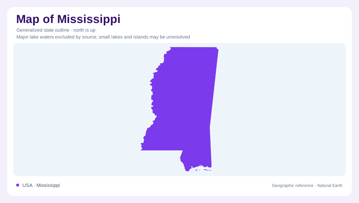
Mississippi takes its name from the great river along its western side, but the state extends well beyond that river's immediate floodplain. To the east, low hills and gently rolling coastal plain country replace the broad alluvial lowlands. To the south, the mainland meets a coast accompanied by sandy offshore islands. The contrast between inland river deposits and coastal sand is fundamental. Both landscapes contain sediment moved by water, yet they occupy different settings and develop through different processes. Mississippi's outline can establish the state's position; it cannot by itself distinguish a river terrace, a wooded hill or a sandy barrier.
Inland lowlands rather than the river mouth
The Mississippi Alluvial Plain is a landscape built by river sediment, with smaller waterways sharing its low ground. The Yazoo and Sunflower systems belong to this setting. The region commonly called the Mississippi Delta is inland, whereas the Mississippi River's modern distributary delta lies farther south in Louisiana. Confusing those two meanings of delta relocates an entire geographic region. Within the alluvial plain, drainage is not simply one enormous channel. Tributaries and the main river occupy connected but distinct positions. Their relationships help explain why land beside a smaller stream can belong to the same broad lowland as the Mississippi itself.
Several routes take water south
Not every Mississippi stream enters the Mississippi River. The Pearl and Pascagoula belong to drainage systems leading toward the Gulf, while the Yazoo and Big Black feed the Mississippi. This separation makes watersheds a useful way to organize the interior. Low ridges can divide neighboring catchments without forming conspicuous mountains. Across the eastern Gulf Coastal Plain, differences between sandy or gravelly beds and finer clay, chalk or mudstone influence the terrain. More resistant or coarser deposits support some hills and ridges; lower ground occupies other strata. The resulting relief is subtle at statewide scale but important to local river patterns.
A mainland coast with a second sandy edge
Offshore, Cat, Ship, Horn and Petit Bois islands form part of Mississippi's barrier island geography. They should not be mistaken for extensions of the mainland simply because they sit close to its coast on a small map. Waves spend energy along their seaward beaches, helping shelter environments behind them. Sand shifts under the combined influence of waves, currents and wind, so these islands are mobile landforms rather than fixed stone walls. Storms can reorganize them abruptly. Their geographic significance lies both in their own changing shapes and in the protected waters and habitats associated with the mainland side.
Moisture connects surface and subsurface
Warm Gulf air supplies much of Mississippi's moisture, while rainfall also recharges water beneath the ground. The state's sedimentary layers contain aquifers, adding a vertical dimension to a geography usually described through rivers. Surface channels and underground water can interact where their geological setting permits it. That does not make every stream equally connected to every aquifer. For orientation, distinguish the western alluvial plain, the interior coastal plain and the barrier coast before considering finer details. Each has its own combination of relief, drainage and sediment, despite sharing a generally humid climate and a position near the continent's southern margin.