Two great rivers frame the interior
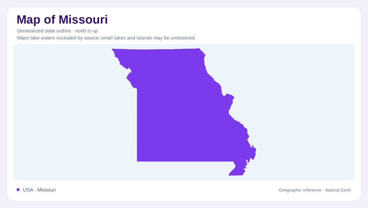
Missouri is an inland state whose geography is organized by the Missouri and Mississippi rivers. The Missouri crosses the state; the Mississippi follows its eastern side. Their channels connect Missouri to drainage extending far beyond its borders. This distinguishes the big rivers from small streams responding mainly to nearby hills and fields. River water here carries the influence of distant rainfall and runoff as well as local conditions. The state contains contrasting landscapes around those waterways. Prairie plains dominate much of the north and west, while the Ozarks occupy much of the south and the Bootheel projects southeast.
The northern plains have an ice age history
North of the Missouri River, glaciers helped flatten the land and left a framework of rolling plains. Prairie country also extends south of the river near Kansas, but that southern portion was not glaciated. This distinction prevents a useful regional label from becoming an overly simple geological explanation. Deep soils and cropland characterize much of the prairie region today. Its streams occupy broader, gentler valleys than those in the Ozarks. Many channels have been straightened, so present river geometry may reflect engineering as well as older meanders. A straight channel should not automatically be interpreted as a natural landform.
An upland cut into hills
The Ozarks are an elevated bedrock region dissected by streams, rather than a collection of isolated peaks rising independently from a plain. Erosion cut valleys into that upland, leaving the rugged hills and bluffs that define much of southern Missouri. Limestone and dolomite are especially important because water can dissolve them, producing karst terrain. Sinkholes, caves and underground drainage therefore accompany the visible river network. Along the Current and Jacks Fork rivers, spring water helps sustain clear streams. Local volcanic rhyolite knobs add another rock type to a landscape otherwise dominated by sedimentary formations, making its geology more varied than limestone alone.
The Bootheel changes the pattern
Missouri's southeastern projection enters low country very different from the Ozark upland. The Bootheel historically included extensive wooded swamps influenced by Mississippi backwaters. Drainage works and agricultural conversion transformed much of that landscape into fields and channels. Remnant wetlands such as Otter Slough help reveal the earlier setting. The change from Ozark terrain into these lowlands can be abrupt, making the boundary between physical regions more meaningful than a gradual north to south progression. A small part of Missouri consequently shares lowland characteristics that are uncommon across much of the rest of the state, despite belonging within the same outline.
Water takes both open and hidden paths
Comparing Missouri waters requires distinguishing large rivers, prairie streams, spring-fed Ozark channels and reservoirs. Lake of the Ozarks and Table Rock Lake are impoundments, whose broad standing waters differ from the smaller flowing streams nearby. Underground pathways add further complexity in karst country: a surface ridge does not necessarily reveal every connection below it. In contrast, the Missouri and Mississippi respond to continental drainage. These differences make a single statewide description of river character misleading. Missouri is better understood through the relationship between each water body and its surrounding soils, bedrock and terrain, with engineered changes considered alongside the natural landscape.