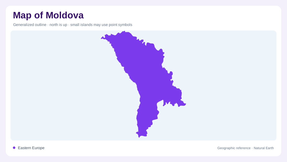
A landlocked country between two rivers
Moldova is a landlocked country in Eastern Europe, set between Romania on the west and Ukraine on the north, east and south. Much of its territory lies between the Prut and Nistru, yet the two waterways do not play identical roles: the Prut marks much of the western frontier, while the Nistru organizes the eastern side before continuing toward the Black Sea. The country is commonly read through northern, central and southern development regions. A map at regional scale should also distinguish the capital area around Chisinau from the east-bank territory often labeled Transnistria, without treating a map label as a political verdict. The country's west-east position keeps both principal rivers central to every regional map orientation.
Low relief with a higher north
Relief is gentle in appearance but not uniform. The north belongs to the Podole Highland, the south to the Black Sea Lowland, and the central zone forms a rolling transition between them. FAO gives the country's average elevation as 147 meters, with Bălănești Hill reaching 428 meters; three quarters of the territory lies below 200 meters. These figures explain why broad agricultural surfaces dominate many views while ravines and wooded ridges still create local complexity. The northern and central forest-steppe belt differs from the warmer, semi-arid southern steppe, so colors on a physical map should not be read as a single plain.
The Nistru and Prut drainage divide
Water divides Moldova into three main basins within the wider Black Sea drainage. The Nistru basin covers about 57 percent of the country; the river rises in Ukraine, forms sections of the Moldovan-Ukrainian boundary and returns to Ukraine before reaching the Black Sea. Its Moldovan tributaries include the Răut, Bîc and Botna. The Prut basin covers about 35 percent, with the Prut rising in the Carpathians and forming the border with Romania before joining the Danube. Smaller southern basins occupy the remaining area and send rivers across the border toward the Black Sea.
Codri, ravines and managed water
Central Moldova's Codri forests and wooded reserves interrupt the impression of continuous farmland. Around Orheiul Vechi and Molovata, the Răut and Nistru valleys cut through an articulated landscape of limestone slopes, ravines and river bends. Natural lakes are few; Lake Beleu lies in the Prut valley, while reservoirs and ponds are numerous, including the large Costești-Stânca reservoir on the Prut and Dubăsari on the Nistru. These water bodies have different map signatures. A narrow winding river, a floodplain lake and an engineered reservoir should not be grouped together simply because each is colored blue.
Settlements and careful territorial labels
Settlement follows the river corridors, central hill country and cultivated lowlands, with Chisinau near the country's center and Bălți serving the north. Gagauzia appears as an autonomous territorial unit in the FAO profile, while the east-bank Nistru region is listed separately as Stinga Nistrului, or Transnistria. Moldova includes land beyond the Nistru, so the river should not be mistaken for an uninterrupted international boundary. At country scale, Moldova is a low, river-cut upland between larger neighbors. At closer scale, its forests, vineyards, ravines, lakes and border rivers make the compact outline much more varied.