A narrow Mediterranean frontage
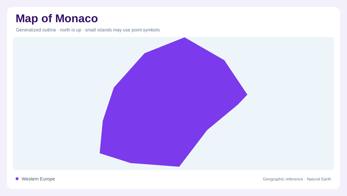
Monaco is a small Mediterranean state on the French Riviera, with France on its landward side and the Mediterranean Sea to the south. The Consulate General describes a single commune whose limits match those of the state. The narrow coastal position creates an unusually close relationship between the international border, steep ground and waterfront. A world map reduces Monaco to a dot, while a local map reveals promontories, harbour basins and streets climbing the slopes. Its scale is best explained through these adjoining features. French territory provides the landward frame, and the sea forms a second, very different geographic edge.
Relief compressed between border and sea
The land narrows and rises quickly away from the water. Short slopes connect waterfront districts with elevated streets and gardens, while the French communes behind the border form the larger landward landscape. Cap-d'Ail, La Turbie, Beausoleil and Roquebrune-Cap-Martin are named as neighbouring communes in the consular account. Reading them around Monaco prevents the principality from being mistaken for an isolated inland enclave. Contours distinguish a street near a harbour from one on the slopes above it, even when the two appear adjacent. The Mediterranean shoreline and the French border enclose this compressed relief; neither follows a simple rectangular pattern around the built landscape.
The Rocher and older quarters
The historic core, Monaco-Ville, occupies the Rocher, a rocky promontory with the Prince's Palace, cathedral and Oceanographic Museum. Eastward, La Condamine takes its name from cultivable land at the foot of a settlement or castle, a clue to the older terrain beneath today's urban fabric. Monte-Carlo was created in the nineteenth century on higher ground and includes gardens and leisure districts. These labels are quarters within one commune, not separate municipalities. On a city map, the names show how the territory's narrow slope has been divided into distinct urban rooms without breaking its continuous political outline.
Fontvieille's engineered waterfront
Fontvieille demonstrates how Monaco's shoreline has been enlarged and reshaped. The consular page describes its development on land reclaimed from the sea beside the older urban quarters, with a harbor, stadium and sports complex, heliport and industrial zone. Moneghetti occupies the western side near Cap-d'Ail and includes the Révoires and Exotic Gardens. The contrast is cartographically useful: Fontvieille is a constructed waterfront platform, while the older districts climb natural or modified slopes above the Mediterranean. A detailed map should distinguish reclaimed land, port water and cliff-backed ground rather than presenting the coast as one uniform line. Harbour walls and reclaimed platforms introduce additional artificial edges.
A microstate whose scale hides relief
Monaco's geography is best understood through adjacency and scale. At regional scale, it is a narrow coastal interruption within the French Riviera, facing open Mediterranean water. At neighborhood scale, the Rocher, harbor basins, reclaimed Fontvieille and elevated Monte-Carlo occupy only a few kilometers but have different origins and elevations. The single-commune structure keeps the state outline compact, while the five named areas explain its internal organization. A map reader should use the French border, the coastline, contours and waterfront geometry together. That combination reveals a steep, urban microstate whose small area does not mean simple terrain.