A high landlocked plateau
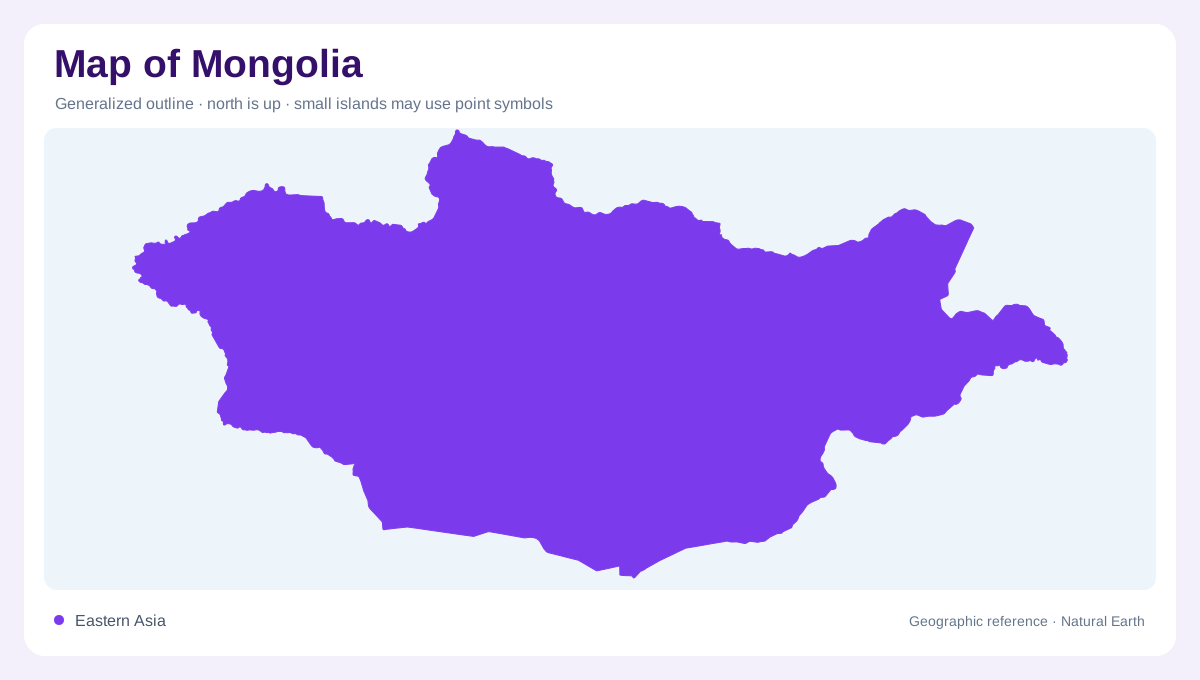
Mongolia occupies the north of the Central Asian Plateau between Russia and China. It is landlocked and immense, covering about 1.56 million square kilometers, yet the country is not a single low plain. The FAO profile says roughly 80 percent of the territory lies above 1,000 meters, a useful warning for any map that uses green or brown without contours. Intermountain plateaux dominate the outline, with broad basins and elevated surfaces linking the frontier regions. The capital, Ulaanbaatar, is a settlement label within this high interior, not a coastal or lowland hub. The plateau's altitude is a geographic fact, not merely background color on a country's political map alone.
Altai, Khangai and Khentii
Three mountain systems give the relief its main orientation. The Mongolian Altai stretches across the west; the Khangai occupies the north-central interior; and the Khentii rises farther north and east. Between the Altai and Khangai lies the Great Lakes Depression, while elevated plains spread across eastern Mongolia. The FAO regional division groups these environments into a Khangai forest region, eastern steppe, Gobi desert and semi-desert. These are broad geographic belts rather than rigid lines. A shaded map shows how dry basins, forest-bearing ranges and open steppe interlock across the country. The Great Lakes Depression is a basin between ranges, not a single lake visible at every scale.
Three international drainage systems
Mongolia’s drainage falls into three regional basin systems. Northern and central rivers belong to the Arctic Ocean basin, covering about one-fifth of the country; the Selenge, Orkhon, Ider and Delgermurun drain toward Russia. Eastern rivers belong to the Pacific Ocean basin, including the Onon, Ulz, Khalkh and Kherlen, which together occupy about 12 percent of the territory. The remaining 68 percent lies in Central Asian internal drainage, where Gobi and western rivers feed closed depressions or disappear inland. Basin arrows are therefore more informative than a simple inventory of lakes and rivers.
Rivers, frozen seasons and inland lakes
Mountain sources concentrate the strongest river networks in the north and west. Orkhon flows from the Khangai toward the Selenge, while the Selenge continues northward toward Lake Baikal. In the arid interior, Hovd, Zavkhan, Bulgan, Uyench, Bodonch and Buyant follow shorter or enclosed courses. The Great Lakes basin contains Uvs, Khyargas, Khar-Us, Khar, Airag and Shargiin Tsagaan lakes, while the southern Gobi has fewer surface waters and relies heavily on groundwater. Seasonal detail matters: northern rivers freeze for much of winter, and Gobi waterways can depend almost entirely on underground flow.
Settlements follow valleys and water
Settlement and cultivation reveal the meeting of terrain and water. Crop-growing areas cluster in the broad northern basin around Selenge, Tov and Bulgan, where valley floors and lower slopes hold deeper soils. The Tuul basin includes Ulaanbaatar and is part of the larger Arctic Ocean drainage. Southward, rainfall decreases sharply toward the Gobi, so a national map's apparently empty spaces are geographic information rather than omissions. Read aimag boundaries over relief, river direction and lake basins, then compare them with the four regional belts. Mongolia emerges as a high, dry, internally varied plateau with rivers flowing outward or into enclosed basins.