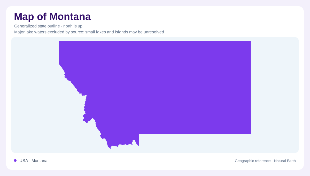
The plains occupy much of Montana
Montana's mountain identity can obscure how much of the state belongs to the Northern Great Plains. The west contains extensive ranges and valleys, while central and eastern Montana open into plains country. This is a broad regional contrast rather than a claim that every western location is high or every eastern location flat. Elevation varies considerably within the state, affecting temperature and the accumulation of snow. Montana's northern boundary meets Canada, while its long eastward extent carries the landscape away from the densest western mountain country. An outline alone cannot communicate the change in relief across that distance.
Three tributaries give the Missouri its name
Near Three Forks, the Jefferson, Madison and Gallatin rivers come together to form the Missouri. This confluence gives a concrete starting point for interpreting a river that later crosses a large part of North America. The surrounding setting combines river lowlands with distant mountain ranges, illustrating how Montana's valleys collect water from higher country. The confluence is therefore more than a named point: it joins separate upstream catchments into a larger downstream system. Following those connections explains why snow and rain in mountain terrain can matter far beyond the slopes where they first reach the ground and enter the drainage network.
A mountain crest sorts continental drainage
Glacier National Park contains an unusually clear expression of continental drainage geography. The Continental Divide follows the Lewis Range, separating waters that ultimately reach different sides of North America. At Triple Divide Peak, three major drainage directions meet, connecting the local terrain with the Pacific, Hudson Bay and Atlantic drainage systems. A raindrop's destination consequently depends on which side of a small area of mountain crest it enters. The scale contrast is striking: a local ridge divides routes across a continent. State boundaries do not perform that hydrological work; the shape and height of the land establish the relevant separation.
Old sediments became mountain walls
Glacier's mountains also reveal a sequence of geological processes rather than a single episode of uplift. Ancient sediments accumulated, hardened and were later deformed. Movement along the Lewis overthrust carried older rocks over younger formations. Subsequent erosion and glaciation exposed and sculpted the terrain. Around St. Mary Lake, the broad valley with steep sides records the work of substantial former ice. Such valleys should not be confused with evidence that modern glaciers still fill them. The large ice masses that shaped the main valleys belong to an earlier landscape, while the smaller glaciers of recent times occupy more limited mountain settings.
Seasonal storage above the valleys
Snowpack makes elevation part of Montana's seasonal water cycle. Snow stored through winter melts into streams, while glacial melt can contribute water later in summer. The timing of release matters to valleys and downstream drainage, not merely to the mountains themselves. Plains locations experience a different setting, with warmer summers and less consistently snowy terrain than the western ranges. Interpreting Montana therefore benefits from two comparisons: mountain versus plain, and watershed versus watershed. The Missouri confluence, Glacier's divided drainage and the broad eastern interior show three different ways in which terrain organizes a state too varied for one mountain stereotype.