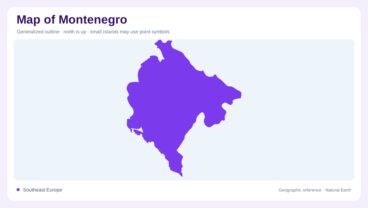
From the Adriatic into the Dinaric interior
Montenegro runs from the Adriatic coast into the rugged interior of the Dinaric mountains. The official tourism organization presents the country as small but highly diverse, with seaside landscapes, mighty mountains, ancient coastal cities and inland canyons. On a national map, the coastline is a narrow southern and western edge, while most of the interior rises quickly into uplands and enclosed valleys. The Bay of Kotor cuts deeply into the coast and creates a complex shoreline of peninsulas, inlets and steep slopes. Its position makes coastal Montenegro look more indented than a simple outline suggests. The coast offers a low reference line for reading abrupt elevation changes inland clearly.
Rivers cut through high mountain country
Relief is organized by mountain massifs and rivers that have carved long gorges. The Morača, Cijevna, Piva, Ibar, Tara and Lim appear in the official canyon guide as different examples of water cutting through stone. Tara and Piva expose long, wild canyon systems, while the Škurda canyon lies beside Kotor and the Grlja canyon below Prokletije. Prokletije forms Montenegro's highest mountain zone; the national-parks page gives peaks there rising to 2,534 meters. Map symbols for rivers should therefore be read with vertical relief, not as flat lines crossing a uniform country. The canyon network shows how rivers connect otherwise separate mountain districts on regional maps clearly.
Skadar Lake and contrasting regions
Skadar Lake occupies an inland basin near the southern border and contrasts with the narrow mountain valleys farther north. Its open water and wetland margins form a low landscape beneath surrounding relief. Comparing the lake with the Bay of Kotor reveals two different water settings: one is an inland water body, while the other opens into the Adriatic. Their shores both meet steep terrain, but neither should be interpreted simply as another mountain river widened on the map. Lake margins, coastal inlets and canyon floors require distinction.
Five parks mark physical contrasts
Protected areas cover a notable share of the national map. Montenegro's official guide identifies five national parks—Durmitor, Skadar Lake, Lovćen, Biogradska gora and Prokletije—and says they account for eight percent of the country's territory. Durmitor is linked with the Tara River Canyon and a landscape of mountain peaks and glacial lakes. Biogradska gora contributes forest and lake environments, while Prokletije supplies the highest relief. These parks are not interchangeable scenic labels: each represents a separate physical region whose boundaries help a reader locate the country's ecological and topographic contrasts.
Coast, towns and mountain valleys
Settlement names become clearer when the map is divided between coast and interior. Kotor, Budva, Bar and Ulcinj sit along the Adriatic-facing zone, while Žabljak, Plužine, Kolašin and Mojkovac lie among northern or central mountains and river valleys. The official mountain-town guide places Durmitor, Biogradska gora and Prokletije around the northern towns, confirming that the inland network is not an undifferentiated upland. At national scale, sea and mountain occupy adjoining strips. At local scale, bays, canyons, lakes, plateaux and valleys explain why a short distance can represent a major change in terrain. A relief map is especially helpful where an administrative boundary follows a ridge instead of a valley.