A compact island arc setting
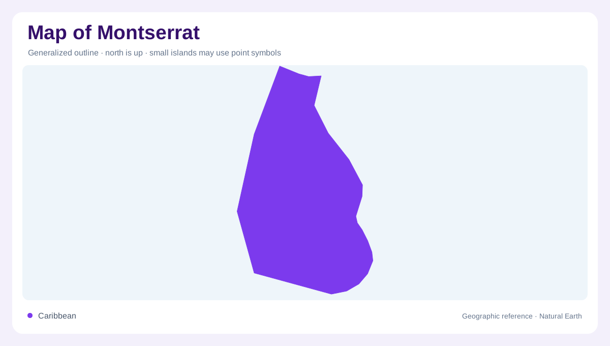
Montserrat is a volcanic island in the Lesser Antilles, part of an arc that runs roughly 800 kilometres from Grenada northward to Saba. Its footprint is compact, about 16 kilometres from north to south and 10 kilometres across, yet the outline encloses four volcanic centres with different histories. From north to south, maps identify the Silver Hills, Centre Hills, Soufrière Hills and South Soufrière Hills. This sequence is more informative than treating the island as one uniform mountain. A regional map shows Montserrat among neighbouring islands; a local map should preserve the north-south order, because volcanic age, relief and submarine shelf width change along that axis.
Four centres, different ages
Silver Hills and Centre Hills form the older northern and central framework, while the Soufrière Hills and South Soufrière Hills occupy the younger south. MVO describes the Soufrière Hills as the island’s only active volcanic centre. Its andesitic magma tends to build lava domes rather than long, fluid lava streams, so a relief map is best read as a stack of steep volcanic masses, gullies and deposits. The modern dome became the island’s highest summit after the 1995–2010 eruption, replacing the earlier prominence of Chance’s Peak. Contours therefore matter: a short horizontal distance can represent a sharp vertical change.
A shelf beneath the coastline
Montserrat’s relationship with the sea is also geological. A shallow submarine shelf surrounds the island, but its width is uneven. Offshore Silver Hills the shelf extends as much as five kilometres, suggesting an older, more eroded volcanic centre. Around the southern coast it is narrower, consistent with the younger Soufrière Hills and South Soufrière Hills. On a nautical or bathymetric map, this difference makes the northern and southern coasts look unlike two edges of the same landform. The island’s terrestrial slopes continue into submerged geology, so coastline, seabed contours and volcanic-centre boundaries should be interpreted together.
Faults and southern valleys
Faults add another layer to the southern map. The Belham Valley Graben trends west-northwest to east-southeast across Montserrat and links with offshore fault systems on both sides of the island. This structure helps explain the alignment of uplifted ground and earlier lava domes around the Soufrière Hills complex. It also gives valleys a tectonic context that a simple road map cannot show. Historical eruption maps record pyroclastic density currents, lahars and ash affecting southern valleys and the coast. Those deposits are geographic evidence of past volcanic processes, not indications that every shaded zone has the same present condition.
Reading volcanic change
When reading a map of Montserrat, keep landform, hazard history and settlement scale separate. The northern hills, central rainforest slopes and southern volcanic centres occupy one island but do not share identical rock ages or drainage patterns. The 1995 eruption began with activity at Soufrière Hills, and later dome collapses sent material through valleys toward the sea, changing both contours and shoreline features. A broad Caribbean map emphasizes isolation within the island arc; a detailed sheet reveals faults, volcanic centres, ravines, shelf edges and altered ground. That layered approach explains Montserrat more accurately than a single symbol for mountain or coast.