Two maritime faces
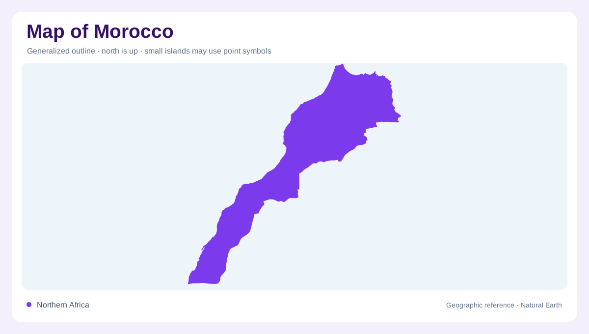
Morocco occupies Africa’s northwestern corner, where an Atlantic frontage meets the Mediterranean at the Strait of Gibraltar. Its coastal plains form a long but uneven band: they are generally narrower beside the Mediterranean and broader along the Atlantic. This orientation gives the national outline two different maritime faces. A regional map also places the country between the Maghreb interior and the approaches to southern Europe, while a closer physical map shows that coastlines do not define a single lowland. The Rif rises behind the northern shore, and the Atlas system interrupts the broad interior with several connected mountain belts.
Rif and Atlas relief
The Rif is the northern mountain chain; farther south, the Atlas is conventionally read through the Middle Atlas, High Atlas and Anti-Atlas. The High Atlas contains Toubkal, which the FAO profile identifies as Morocco’s highest summit above 4,100 metres. These ranges are not decorative relief on a map: they divide coastal plains from inland plateaus, redirect drainage and create sharp changes in elevation over short distances. The Middle Atlas and High Atlas also frame interior basins, while the Anti-Atlas marks a rugged transition toward the country’s drier southern landscapes. Contours make these relationships clearer than provincial boundaries alone.
Plateaus toward the desert
South and southeast of the Atlas, plateaus and plains become increasingly desert or semi-desert in character. The transition is not a simple line; agricultural plains, steppes, mountains and oasis zones overlap across a broad climatic gradient. Morocco’s maritime, mountain and Saharan influences produce different map patterns at different scales. Northern and western areas receive more dependable moisture than the southeast, while exposed high relief can be wetter than adjacent lowlands. A land-cover map may therefore show cultivated corridors beside dry plateaus. Read the physical map first, then compare vegetation and water symbols, because apparent empty space can represent stony hamada, gravel plain or shifting sand.
Six broad drainage groups
Morocco’s drainage is organized into six broad basin groups. Northern Rif basins feed short Mediterranean-facing systems, while the Atlantic north and centre include the Sebou, Bouregreg, Oum Rbia and Tensift groupings. South of the Atlas, the Souss-Massa and Draa belong to the south-Atlasian group; eastward drainage includes the Moulouya, and pre-Saharan basins include the Ziz and Rheris systems. The FAO profile notes that surface water is concentrated particularly in the Loukkos, Sebou and Oum Rbia areas. Basin boundaries consequently cross the visual divisions suggested by coast, mountain and desert.
Climate completes the pattern
Climate completes the map. Morocco is predominantly semi-arid to arid, with a generally hot, dry summer and cooler, wetter winter, yet maritime and elevation effects prevent uniformity. Rainfall varies strongly from the northwestern coast and mountains toward the southeast, and the profile describes substantial spatial and seasonal irregularity. When a map combines relief with rivers, reservoirs and land cover, the pattern becomes legible: mountains collect or redirect water, Atlantic plains broaden around major basins, and southern plateaus thin toward desert. Western Sahara is a separately covered disputed territory. Its status requires distinct treatment, because a southern boundary or continuous desert shading cannot establish sovereignty over the adjoining Saharan land.