A long Indian Ocean edge
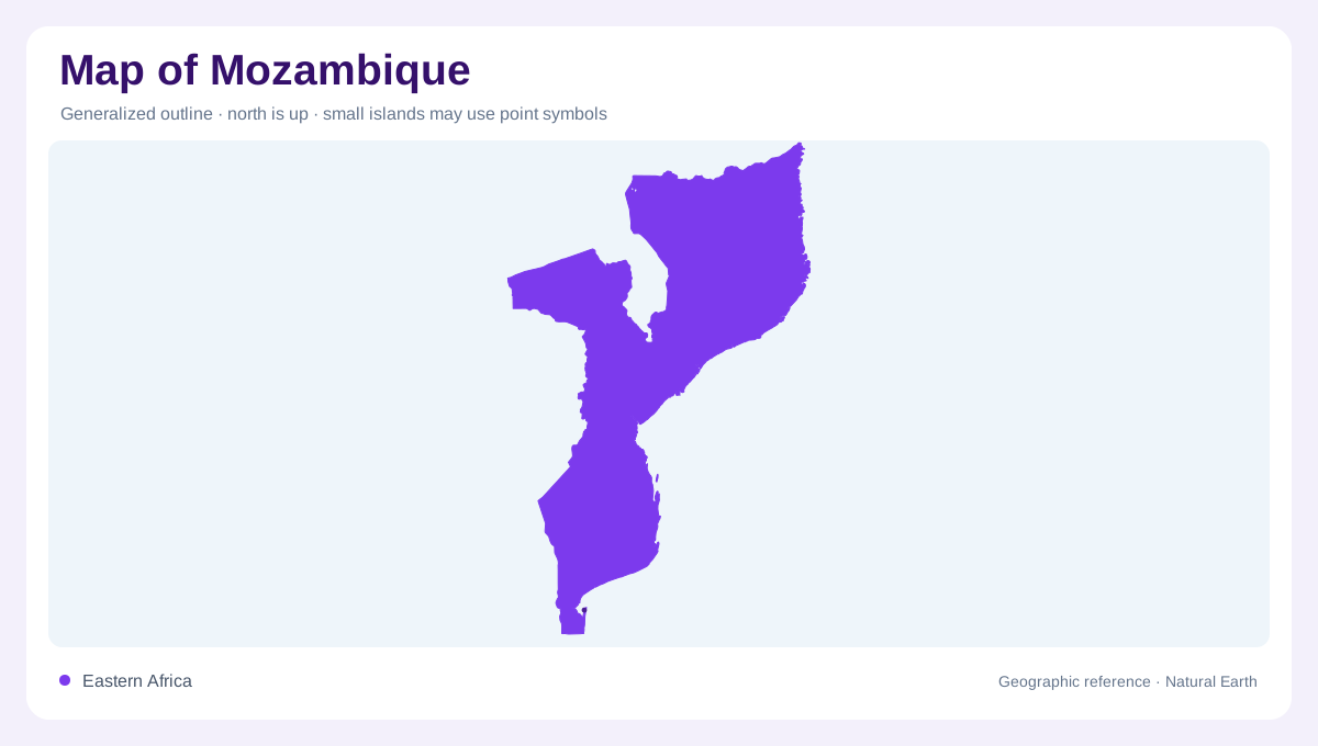
Mozambique follows the southeast African coast along the Indian Ocean, with a long north-south outline and a coastline measured by FAO at 2,515 kilometres. The country’s coastal position is central to its geography: major rivers approach the sea from inland plateaus, while deltas, estuaries and lagoons interrupt the shoreline. On a regional map, the northern coast reaches toward Tanzania and the southern end approaches South Africa. At national scale, distance can hide internal variety. A map should therefore be read from ocean to interior, then compared from the Zambezi northward and southward. The coast is therefore not a boundary line alone; it is a sequence of beaches, estuaries, islands and delta mouths shaped by river sediment and ocean exposure.
Three rising physical belts
FAO divides Mozambique into three broad physical zones. A coastal belt covers much of the land south of the Save River and the lower Zambezi. Behind it lies a middle plateau, generally between 200 and 1,000 metres, while the north of the Zambezi rises into a plateau and highland region averaging around 1,000 metres. Monte Binga, on the Zimbabwe border, reaches 2,436 metres and is the country’s highest point. This west-east sequence explains why relief maps show a gradual inland rise rather than one continuous coastal plain.
Rivers crossing the outline
Water systems give the outline its internal structure. The Zambezi crosses the centre and enters a broad deltaic lowland before reaching the Indian Ocean. Farther south, the Limpopo, Incomati and Maputo systems organize drainage toward the coast; the Save and Pungue occupy central routes, while the Rovuma marks the northern pattern. Several basins are shared with neighbouring countries, so a national map cannot show the full watershed by stopping at the border. Tracing tributaries upstream reveals how highlands, plateaus and international rivers connect Mozambique to a wider southern African drainage network. The drainage map is especially useful where relief symbols fade, because basin direction remains visible even across broad flat lowlands.
Deltas, lakes and mangroves
Mozambique’s water landscape includes both inland lakes and coastal wetland environments. The FAO profile identifies Lake Niassa and the Marromeu complex linked with the Zambezi delta as major wetland examples, and it notes mangroves along deltas and estuaries of the Zambezi, Pungue, Save, Limpopo, Maputo and Rovuma. Bilene, also called Uembje, is a named lagoon. These features need separate symbols: a lake is enclosed inland water, a delta is a sediment-shaped river mouth, an estuary mixes river and sea, and a lagoon is a coastal water body with a distinct outline.
North-south climate change
Climate reinforces the north-south contrast. Northern and central Mozambique are described as tropical or subtropical, while southern inland districts have a markedly drier seasonal climate. The rainy season generally runs from October to April, but precipitation changes from coast to interior and from north to south. High mountains and the northeast monsoon help the north and centre receive more rain; southern inland margins are drier. On a map, this means vegetation, seasonal water and cultivated areas should be interpreted alongside elevation and latitude, not treated as fixed bands with perfectly sharp boundaries.