Mountains around a central basin
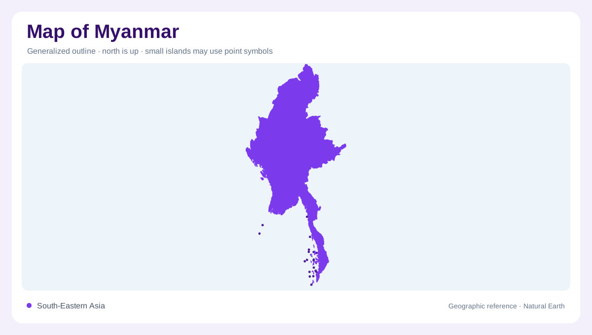
Myanmar stretches from the eastern Himalayan foothills toward the Andaman Sea and Bay of Bengal, giving its southern edge a long, indented coastal relationship with the Indian Ocean. The FAO profile groups the country into northern and western mountains, the eastern Shan Plateau, a central basin and coastal strips. This arrangement makes the national outline easy to misread as one broad lowland. In reality, high terrain borders the central basin on several sides, while the coast opens into separate western and southern drainage settings. A regional map should be paired with relief before settlement symbols are interpreted. The outline is widest across the central basin, then narrows toward the southern coastal extensions and the far eastern rugged borderlands.
High terrain and changing elevation
In the far north, mountains rise above 5,800 metres; Shan State contains elevated plateaus and ranges, and elevated terrain also fills Chin and Rakhine in the west. These heights create a strong north-south grain. The central basin is lower and more open, but its apparent continuity is interrupted by river corridors, dry-zone plains and foothills. Reading contours across the country shows why climate and vegetation change over short distances. The same latitude can contain a wet mountain slope, an interior plain or a coastal strip depending on exposure and elevation.
Six connected river basins
The river pattern follows the ranges. The Ayeyarwady-Chindwin basin drains about 58 percent of Myanmar and includes upper, lower and Chindwin sub-basins. The Sittaung lies east of the lower Ayeyarwady; the Thanlwin drains much of the Shan Plateau; and the Mekong occupies the far eastern margin. Two coastal groups complete the national picture: the Rakhine basin empties toward the Bay of Bengal, while Tanintharyi drains to the Andaman Sea. Shared rivers make basin boundaries more useful than political outlines for understanding water movement.
Monsoon, delta and dry zone
Rainfall gives the central basin a sharp geographic contrast. The southwest monsoon brings most precipitation from May through October, while the cooler winter season is comparatively dry. The FAO profile records much heavier annual rainfall on coastal and mountain reaches than in the central dry zone. Ayeyarwady delta areas occupy an intermediate setting, receiving more seasonal water than the dry zone but less than the wettest coasts. A map reader should distinguish a delta’s distributary network from a plain’s broad flood surface, because both can appear as dense blue lines at small scale.
Inland lakes as reference points
Two inland lakes add important reference points to the physical map. Inle Lake lies in Shan State and extends roughly 24 kilometres north to south and 13 kilometres east to west; Indawgyi Lake in Kachin is about 22 kilometres long and 11 kilometres wide. They are not pieces of the main Ayeyarwady channel, and their enclosed basins should remain distinct from river floodplains. Together with the coastal basins, mountain arcs and central dry zone, these lakes show why Myanmar is best mapped as a set of connected but contrasting regions rather than a single uniform plain. Their positions anchor comparisons between upland catchments, interior plains and the monsoon’s changing reach on a regional sheet of Myanmar.