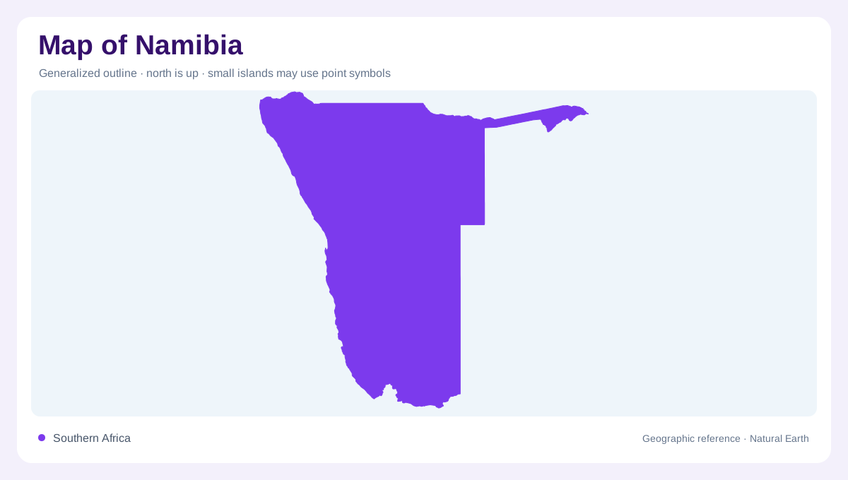
Three regions in a long outline
Namibia occupies southwestern Africa between the Atlantic and the interior plateau, with a north-south span of roughly 1,300 kilometres. Its outline includes the narrow northeastern Caprivi Strip, which makes the country look less compact than a simple rectangle. The FAO profile separates three major topographical regions: the coastal desert, the inland plateau and the dune- and grass-covered Kalahari to the east and south. This tripartite structure is the key to reading a national map. Latitude, ocean influence and elevation combine to produce sharp contrasts across a largely dry landscape. The coastal desert hugs the ocean, the plateau occupies the middle, and the Kalahari opens the eastern map toward neighbouring basins.
Namib beside the Atlantic
Along the entire Atlantic edge, the Namib Desert forms a coastal belt of mobile dunes, gravel and sandy plains. The coast is low, and fog can contribute more moisture than rainfall in places. Cold Benguela Current waters moderate temperatures, so the shoreline cannot be inferred from latitude alone. On relief maps, the desert is not merely an empty strip; dune fields, gravel surfaces, river mouths and coastal wetlands have different signatures. Walvis Bay and Sandwich Harbour are examples of named coastal environments, while the desert’s inland boundary becomes clearer where the escarpment rises.
Plateau, escarpment and Kalahari
Behind the coastal belt, the inland plateau continues the South African Plateau and covers more than half of Namibia. The Great Western Escarpment marks a major break in elevation, while isolated massifs such as the Tsaris, Anas and Erongo Mountains interrupt the plateau. Königstein, above 2,500 metres, is the highest point identified in the FAO profile. Farther east and south, Kalahari sands produce dune and grass landscapes rather than the bare coastal desert. A shaded-relief map helps separate these regions even where vegetation colours appear similarly muted. The escarpment is a transition zone rather than a single wall, so drainage lines and vegetation often change before the contour break is complete.
Rivers that come and go
Namibia’s rivers often behave unlike permanent waterways. The Zambezi occupies the northeastern panhandle, the Okavango crosses the north toward Botswana, the Kunene reaches the northwestern coast, and the Orange forms the southern border with South Africa. Inland basins include the Cuvelai, where ephemeral channels called oshanas converge toward Etosha Pan. The Huab, Ugab, Omaruru, Swakop, Kuiseb and Fish Rivers also belong to a network where flood pulses can disappear into sand. A dry channel on a map is therefore not automatically a river without water. Many channels are named for valleys that carry water only after storms or seasonal rainfall.
Reading scarce water
Water symbols need climate and geology beside them. Namibia’s rainfall is sparse and erratic, evaporation is high, and much runoff either vanishes in ephemeral channels or recharges alluvial groundwater. The FAO profile identifies wetlands in inland basins and along its coast, including Etosha Pan, the Orange River Mouth, Sandwich Harbour and Walvis Bay. These places are not interchangeable: a salt pan, estuary, lagoon and sandy riverbed represent different processes. Comparing basin boundaries with topography explains why Namibia’s apparent emptiness contains a precise, highly varied water geography.